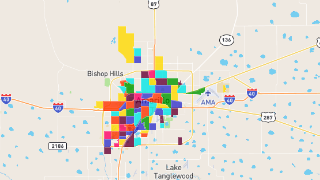
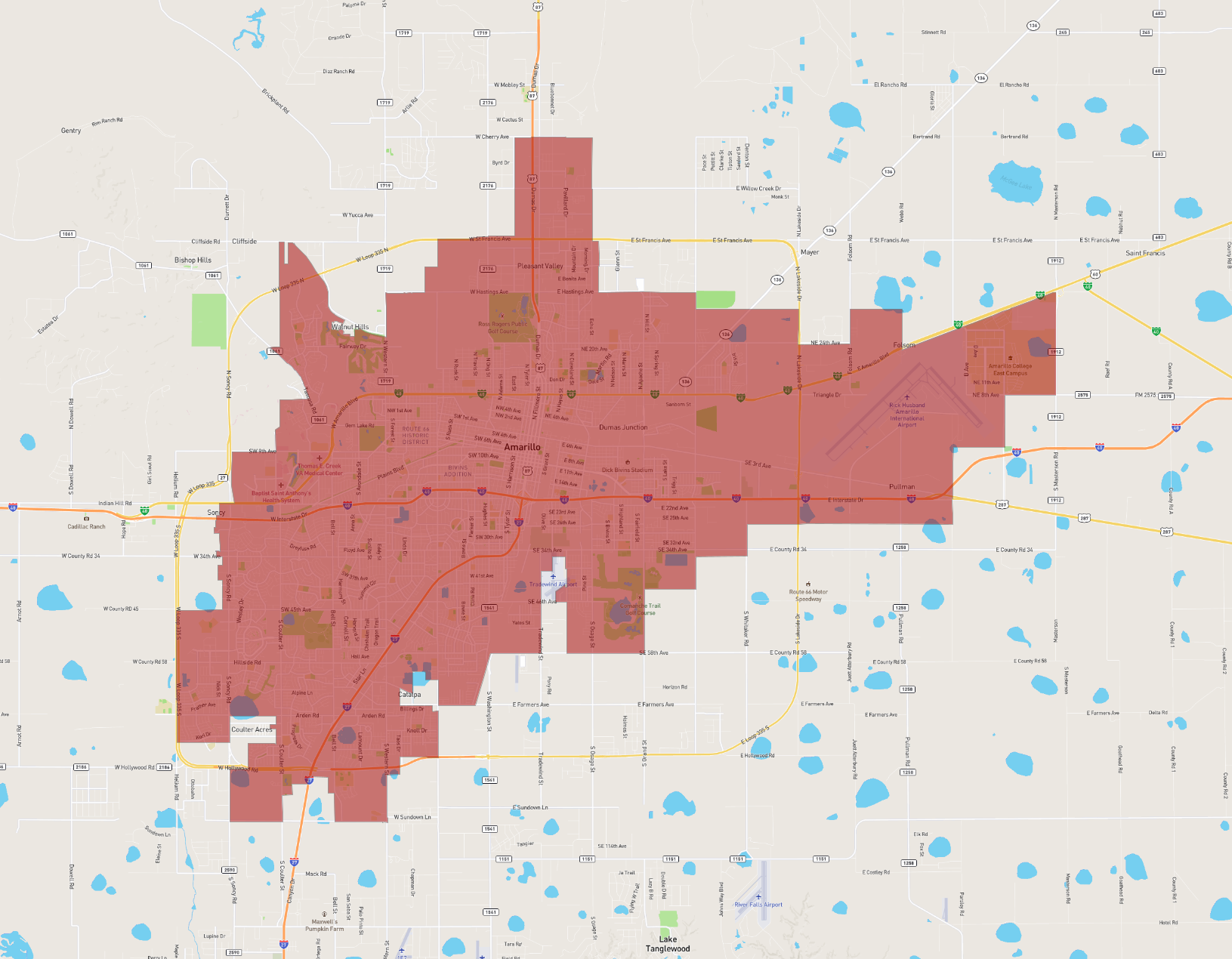
Amarillo
Maps and Statistics of Amarillo
Amarillo, located in the Texas Panhandle, serves as a prominent cultural and economic hub for the region. It is the county seat of Potter County and stretches partially into Randall County. As of the most recent data, Amarillo has a population of around 200,000 residents. Known for its rich history and vibrant cowboy culture, the city was originally established as a pivotal stop along the cattle trails in the late 19th century.
Amarillo is home to the iconic Cadillac Ranch, an art installation featuring old Cadillac cars half-buried in the ground. The city also boasts a thriving arts scene, anchored by the Amarillo Opera and the Amarillo Symphony. Palo Duro Canyon State Park, often referred to as the "Grand Canyon of Texas," is located just south of the city and offers hiking, camping, and breathtaking views.
Economically, Amarillo is supported by diverse industries, including agriculture, energy, and healthcare. The city's strategic location along Interstate 40, which follows the historic Route 66, enhances its role as a transportation and trade center. Amarillo's unique blend of Western heritage and modern development make it a distinctive and fascinating city in Texas.
Basic Info
| Population | 200,393 |
|---|---|
| Area | 266.716 km2 |