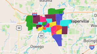
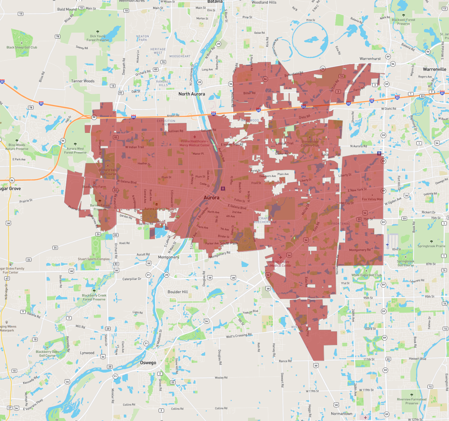
Aurora
Maps and Statistics of Aurora
Aurora, located in Illinois, is the second-largest city in the state and is situated in the outer region of the Chicago metropolitan area. Known as the "City of Lights," Aurora was one of the first cities in the United States to implement an all-electric street lighting system in 1881. Spanning four counties—Kane, DuPage, Kendall, and Will—Aurora offers a diverse cultural and historical tapestry.
The city is home to a thriving arts scene, with the Paramount Theatre being a focal point for live entertainment and performances. Aurora's historic downtown district is rich in architecture, showcasing structures like the impressive Leland Tower. Additionally, the Fox River runs through the heart of the city, providing scenic beauty and recreational activities.
Aurora boasts a mix of suburban and urban living, with an array of parks and educational institutions, including Waubonsee Community College. The city is also known for the Aurora Regional Fire Museum and Phillips Park Zoo, making it a vibrant and dynamic place for residents and visitors alike.
Basic Info
| Area | 118.962 km2 |
|---|