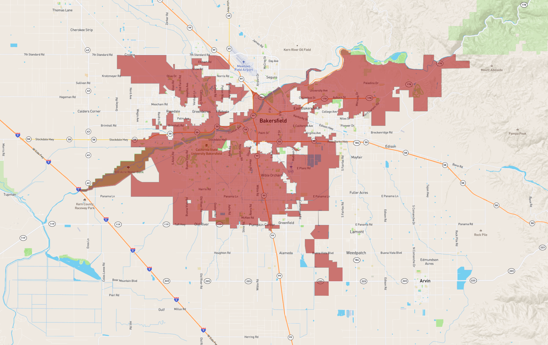
Bakersfield
Maps and Statistics of Bakersfield
Bakersfield is a city located in the southern part of the California Central Valley, serving as the county seat of Kern County. Known for its rich agricultural roots, Bakersfield is a hub for oil production and farming, particularly noted for its contribution to the state's almond and citrus industries. The city's history is closely tied to the Gold Rush and the development of the Southern Pacific Railroad, which spurred early growth.
Bakersfield is culturally significant for its contribution to country music, specifically the Bakersfield Sound, a genre popularized by artists like Buck Owens and Merle Haggard. The city is also home to several cultural and historical destinations, including the Kern County Museum and the Bakersfield Museum of Art.
Outdoor enthusiasts can explore the nearby Sierra Nevada mountains and the Kern River. The city is positioned at a crossroad of major transportation routes, including California State Route 99 and Interstate 5, making it a vital link for trade and travel within the state. Bakersfield has a diverse population, with a blend of cultural influences reflected in its festivals, food, and community events.
Basic Info
| Area | 381.996 km2 |
|---|