Brandenburg
Maps and statistics of Brandenburg
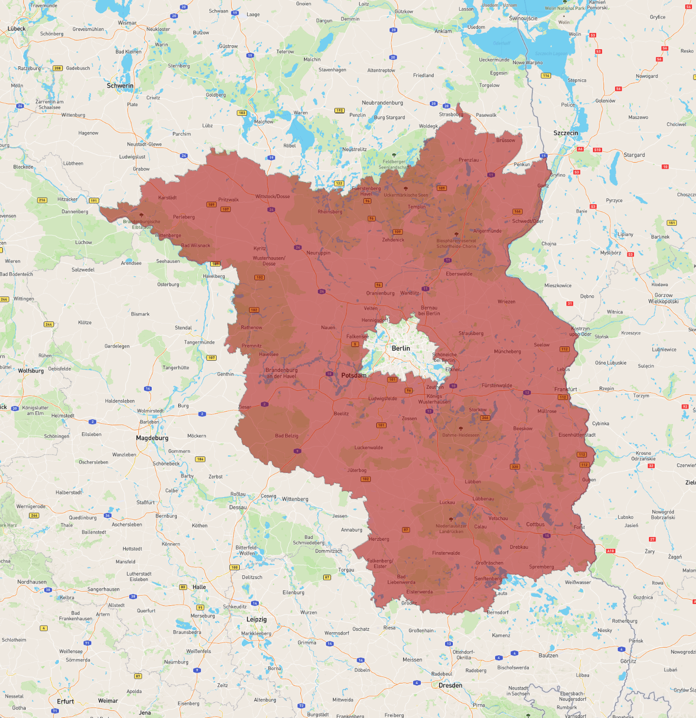
Brandenburg is a federal state in northeastern Germany, encircling but not including the national capital city, Berlin. It covers an area of approximately 29,500 square kilometers and is characterized by its picturesque landscapes, featuring a mix of forests, rivers, and lakes. The state is part of the historic region known for its cultural heritage and historical significance. Potsdam, the capital of Brandenburg, is renowned for its stunning palaces and gardens, such as Sanssouci, which is a UNESCO World Heritage site.
The state has a population of around 2.5 million people. Its economy is diverse, with strengths in manufacturing, agriculture, and renewable energy. Brandenburg is known for its innovation in sustainable technologies and energy, being home to facilities like the Tesla Gigafactory near Grünheide. It shares borders with Poland and several other German states, including Saxony, Saxony-Anhalt, Lower Saxony, and Mecklenburg-Vorpommern. Rich in history, Brandenburg played a crucial role in the formation of the Prussian state.
| Population | 2,573,135 |
|---|---|
| Area | 29,685.332 km2 |