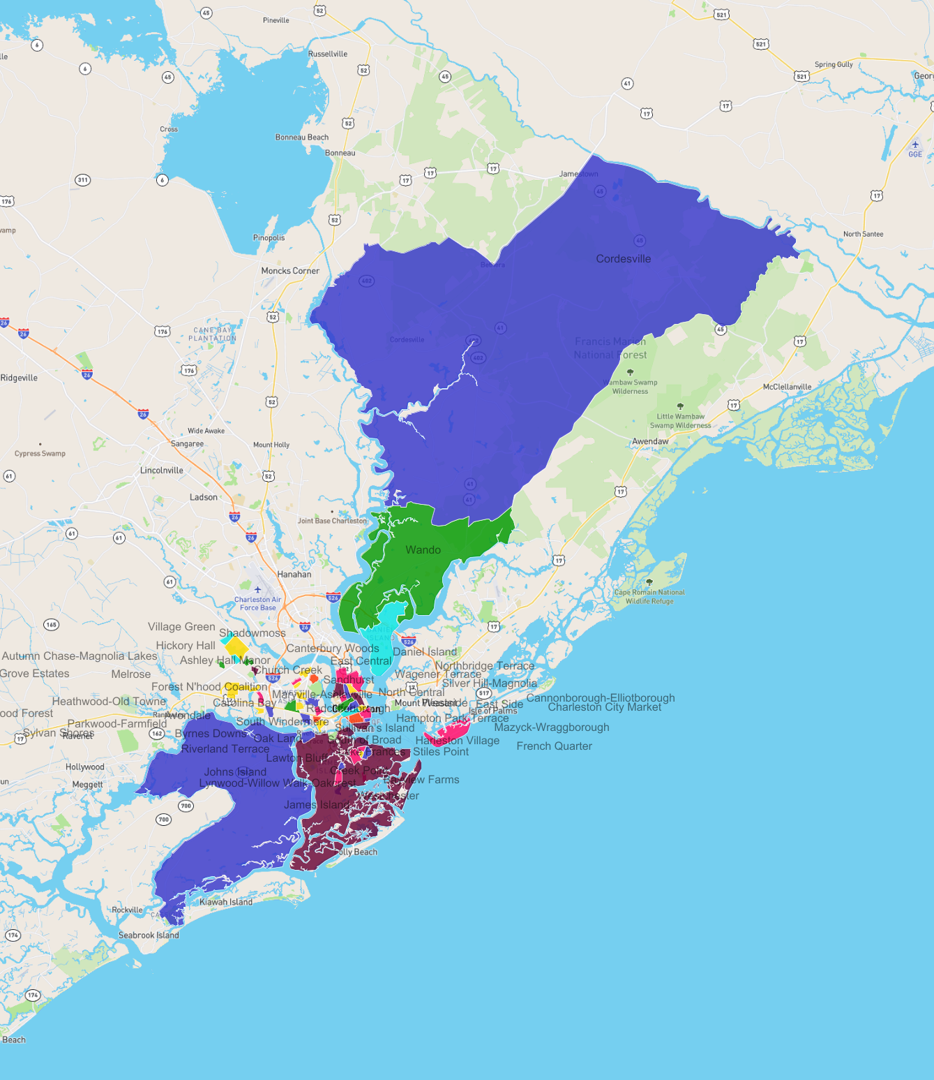
Neighbourhoods in Charleston
List and Map of the Neighbourhoods in Charleston
- We have found 50 neighbourhoods in Charleston.
List of the Neighbourhoods in Charleston
| Neighbourhood |
|---|
| Carolina Bay |
| Westchester |
| South of Broad |
| East Side |
| Johns Island |
| Parkwood-Farmfield |
| Mazyck-Wraggborough |
| Wando |
| Avondale |
| Bayview Farms |
| Cordesville |
| Riverland Terrace |
| Byrnes Downs |
| Heathwood-Old Towne |
| East Central |
| Hampton Park Terrace |
| Radcliffeborough |
| Ardmore-Sherwood Forest |
| Cannonborough-Elliotborough |
| Harleston Village |
| Northbridge Terrace |
| Shadowmoss |
| Sandhurst |
| Stiles Point |
| Westside |
| Daniel Island |
| Hickory Hall |
| Melrose |
| Canterbury Woods |
| Wagener Terrace |
| Lake Frances |
| Charleston City Market |
| Village Green |
| Creek Point |
| Autumn Chase-Magnolia Lakes |
| Sylvan Shores |
| Sullivan’s Island |
| Orange Grove Estates |
| French Quarter |
| Lynwood-Willow Walk-Oakcrest |
| South Windermere |
| Forest N'hood Coalition |
| Church Creek |
| Ashley Hall Manor |
| Lawton Bluff |
| Oak Land |
| James Island |
| North Central |
| Silver Hill-Magnolia |
| Maryville-Ashleyville |