Chesapeake
Maps and Statistics of Chesapeake
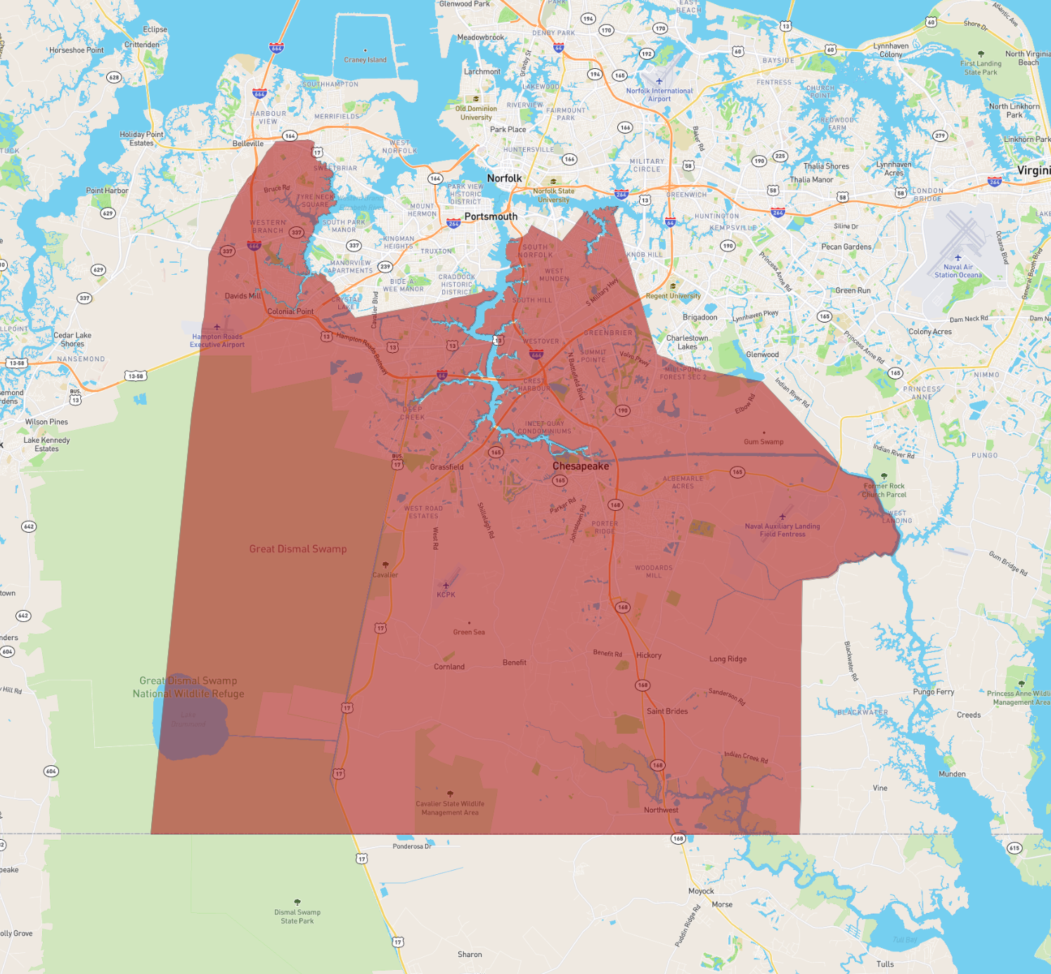
Chesapeake is an independent city located in the southeastern part of Virginia, United States. It is part of the Hampton Roads metropolitan area, which also includes cities like Norfolk and Virginia Beach. Covering over 350 square miles, Chesapeake is known for its diverse geography, encompassing urban areas, forests, farmlands, and a substantial portion of the Great Dismal Swamp, a protected wildlife refuge offering rich biodiversity. As of the latest census, the city's population exceeds 240,000, making it one of the larger cities in Virginia.
Chesapeake's economy is diverse, with key sectors including defense, manufacturing, healthcare, and retail. The city is home to several military installations and numerous parks and recreational facilities, providing residents and visitors with opportunities for outdoor activities such as hiking, fishing, and boating. Education is served by Chesapeake Public Schools, and the city's strategic location along major highways facilitates robust connectivity and commerce with other cities in Virginia and beyond.
Basic Info
| Area | 901.22 km2 |
|---|