City of Albany
Maps and Statistics of City of Albany
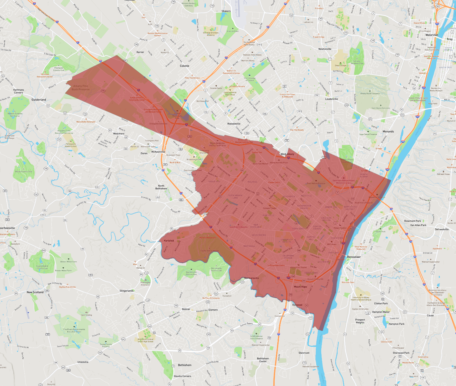
Albany, the capital city of New York State, is an area rich in history and culture. Located on the west bank of the Hudson River, about 150 miles north of New York City, Albany is part of the larger Capital District, which includes nearby cities like Schenectady and Troy. Established by Dutch settlers in 1614, Albany is one of the oldest surviving European settlements from the original thirteen colonies and became the state capital in 1797.
Today, Albany is known for its impressive architecture, vibrant arts scene, and educational institutions. The Empire State Plaza, designed by architect Wallace K. Harrison, is an iconic structure housing numerous state government buildings. The New York State Museum and the Albany Institute of History and Art offer expansive collections for visitors to explore.
Albany’s economy has historically been driven by government jobs, but it has diversified over recent decades to include technology and healthcare sectors. The city hosts several colleges and universities, including the University at Albany, part of the State University of New York system. Albany also serves as a transportation hub in the region, with convenient access via major highways, rail lines, and the nearby Albany International Airport. The city combines small-town charm with the amenities of a larger metropolitan area, offering residents and visitors alike a unique and inviting experience.
Basic Info
| Population | 99,224 |
|---|---|
| Area | 56.925 km2 |