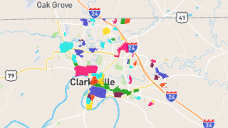
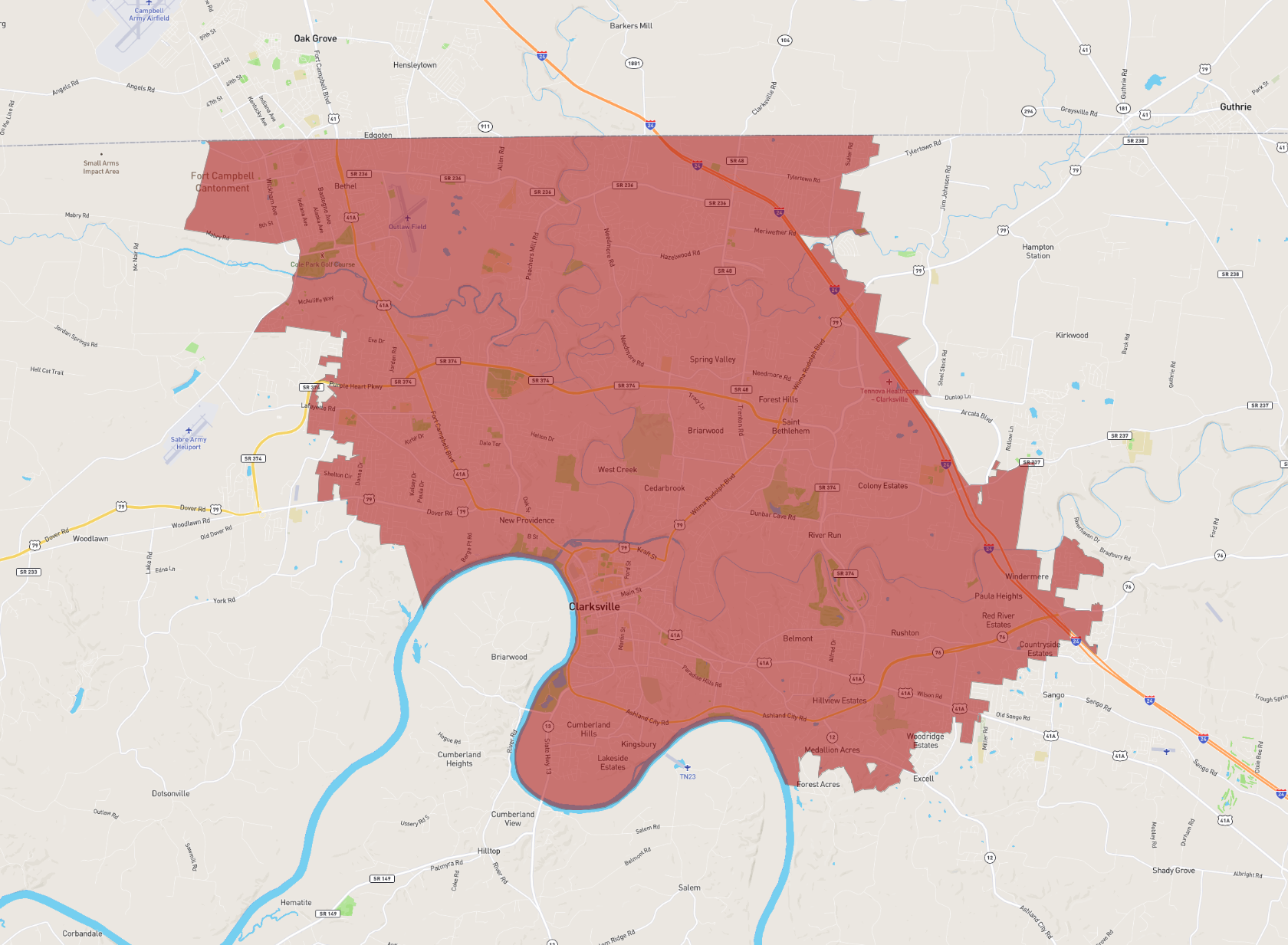
Clarksville
Maps and Statistics of Clarksville
Clarksville is a vibrant city located in northern Tennessee, serving as the county seat of Montgomery County. It is the fifth-largest city in the state and has experienced significant growth due to its strategic location and economic development. Clarksville is situated near the Kentucky border, along the Cumberland River, providing picturesque views and opportunities for outdoor activities.
Home to Austin Peay State University, Clarksville enjoys a youthful and dynamic atmosphere. The university contributes to the city's cultural and educational landscape. Additionally, the city has a strong connection to the military with the nearby Fort Campbell, a major U.S. Army installation that straddles the Tennessee-Kentucky border. This has fostered a diverse community with a rich blend of cultures.
Clarksville boasts a historic downtown area with charming architecture, various shops, and dining options. The city hosts annual events like the Riverfest Celebration and the Clarksville BBQ Bash that draw locals and visitors alike. Efforts to preserve the city's history can be explored through sites like the Customs House Museum and Cultural Center. Overall, Clarksville is a thriving city that offers a mix of history, culture, education, and natural beauty.
Basic Info
| Area | 261.375 km2 |
|---|