Daly City
Maps and Statistics of Daly City
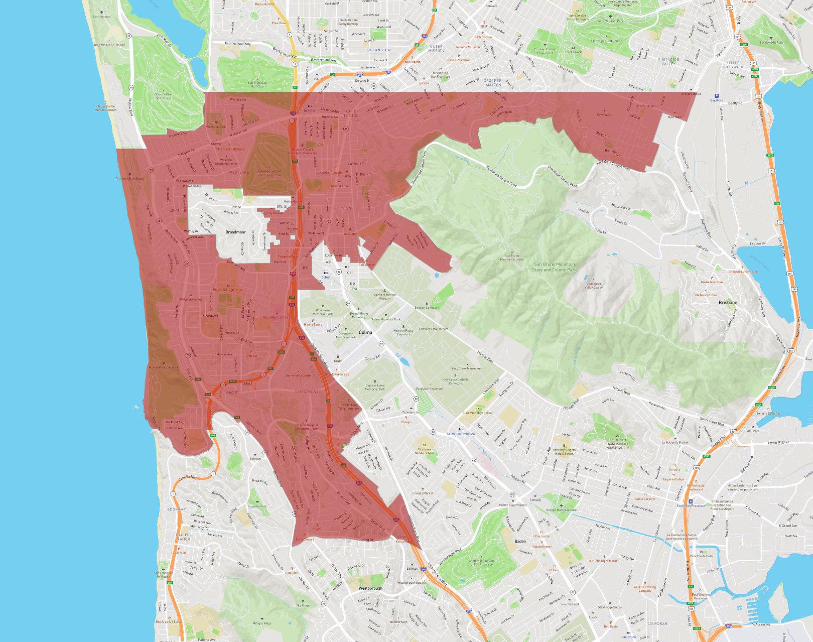
Daly City, situated in California, is a vibrant community located just south of San Francisco. Often referred to as the "Gateway to the Peninsula," Daly City serves as an important residential and commercial hub in the San Francisco Bay Area. As of the latest data, the city boasts a diverse population, reflecting a rich tapestry of cultures, with significant Filipino, Hispanic, and Asian communities contributing to its unique character.
Founded in the early 20th century, Daly City was named after landowner John Daly and has grown significantly over the decades. It is known for its rolling hills and scenic vistas, with parks like Thornton Beach State Park offering residents and visitors a taste of the region's natural beauty.
Economically, Daly City is supported by retail, healthcare, and service industries. The city is home to the Serramonte Center, a major shopping destination, and several healthcare facilities, including Seton Medical Center. Public transportation options, such as BART and several bus lines, make Daly City well-connected to San Francisco and other surrounding areas.
Basic Info
| Area | 19.743 km2 |
|---|