Neighbourhoods in Denver
List and Map of the Neighbourhoods in Denver
- We have found 82 neighbourhoods in Denver.
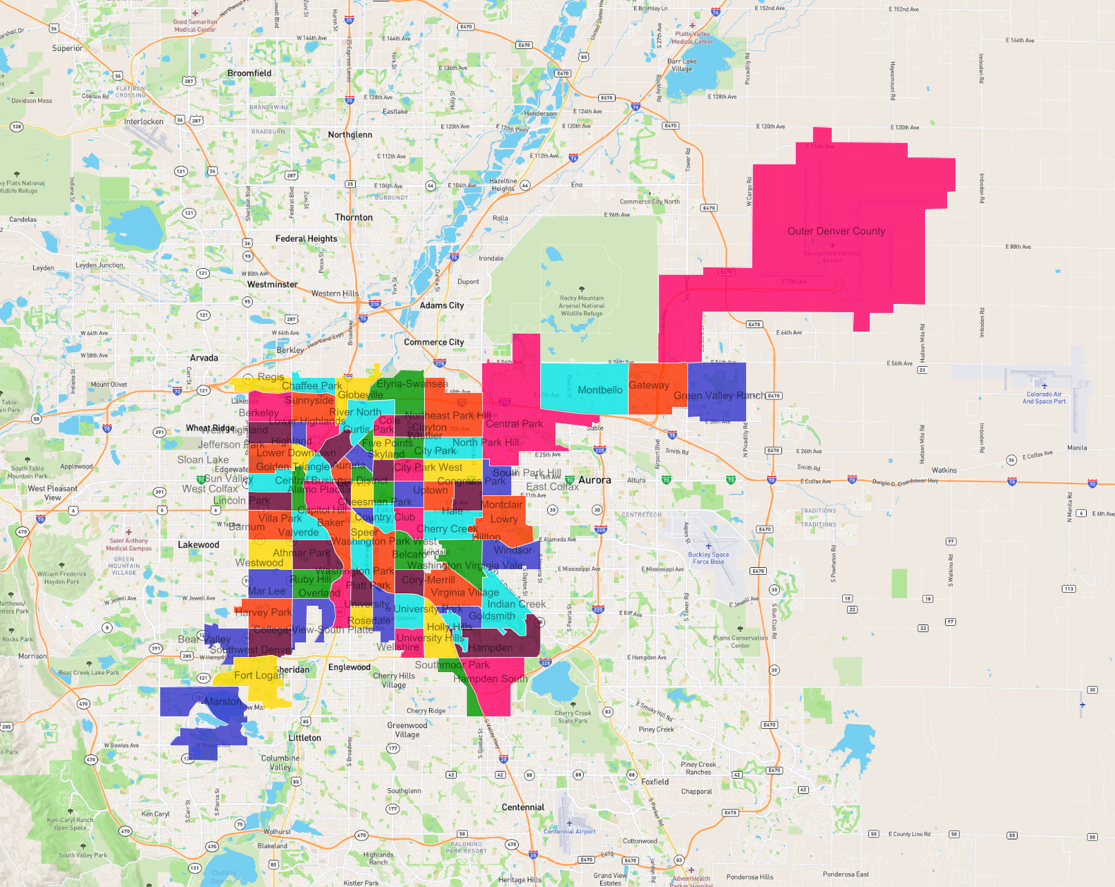
List of the Neighbourhoods in Denver
| Neighbourhood |
|---|
| Washington Park West |
| East Colfax |
| Gateway |
| Hampden |
| Mar Lee |
| Central Business District |
| Sun Valley |
| Southwest Denver |
| Goldsmith |
| Skyland |
| Cheesman Park |
| Congress Park |
| Cherry Creek |
| Indian Creek |
| University Hills |
| Washington Virginia Vale |
| Belcaro |
| University |
| Sunnyside |
| Platt Park |
| Marston |
| Overland |
| Globeville |
| Green Valley Ranch |
| Chaffee Park |
| Montclair |
| Lower Highlands |
| Windsor |
| Baker |
| Bear Valley |
| Alamo Placita |
| Barnum |
| Hale |
| Speer |
| Outer Denver County |
| Curtis Park |
| Valverde |
| Athmar Park |
| Southmoor Park |
| Westwood |
| River North |
| Country Club |
| Hilltop |
| Golden Triangle |
| Regis |
| University Park |
| North Park Hill |
| Ruby Hill |
| Virginia Village |
| Wellshire |
| Uptown |
| Highland |
| Villa Park |
| City Park West |
| Cory-Merrill |
| Lower Downtown |
| Northeast Park Hill |
| Lincoln Park |
| West Colfax |
| Whittier |
| Clayton |
| Fort Logan |
| Washington Park |
| Rosedale |
| Cole |
| Elyria-Swansea |
| Montbello |
| Central Park |
| Holly Hills |
| South Park Hill |
| West Highland |
| Hampden South |
| Lowry |
| City Park |
| Jefferson Park |
| Berkeley |
| Capitol Hill |
| Auraria |
| College View-South Platte |
| Five Points |
| Sloan Lake |
| Harvey Park |