El Monte
Maps and Statistics of El Monte
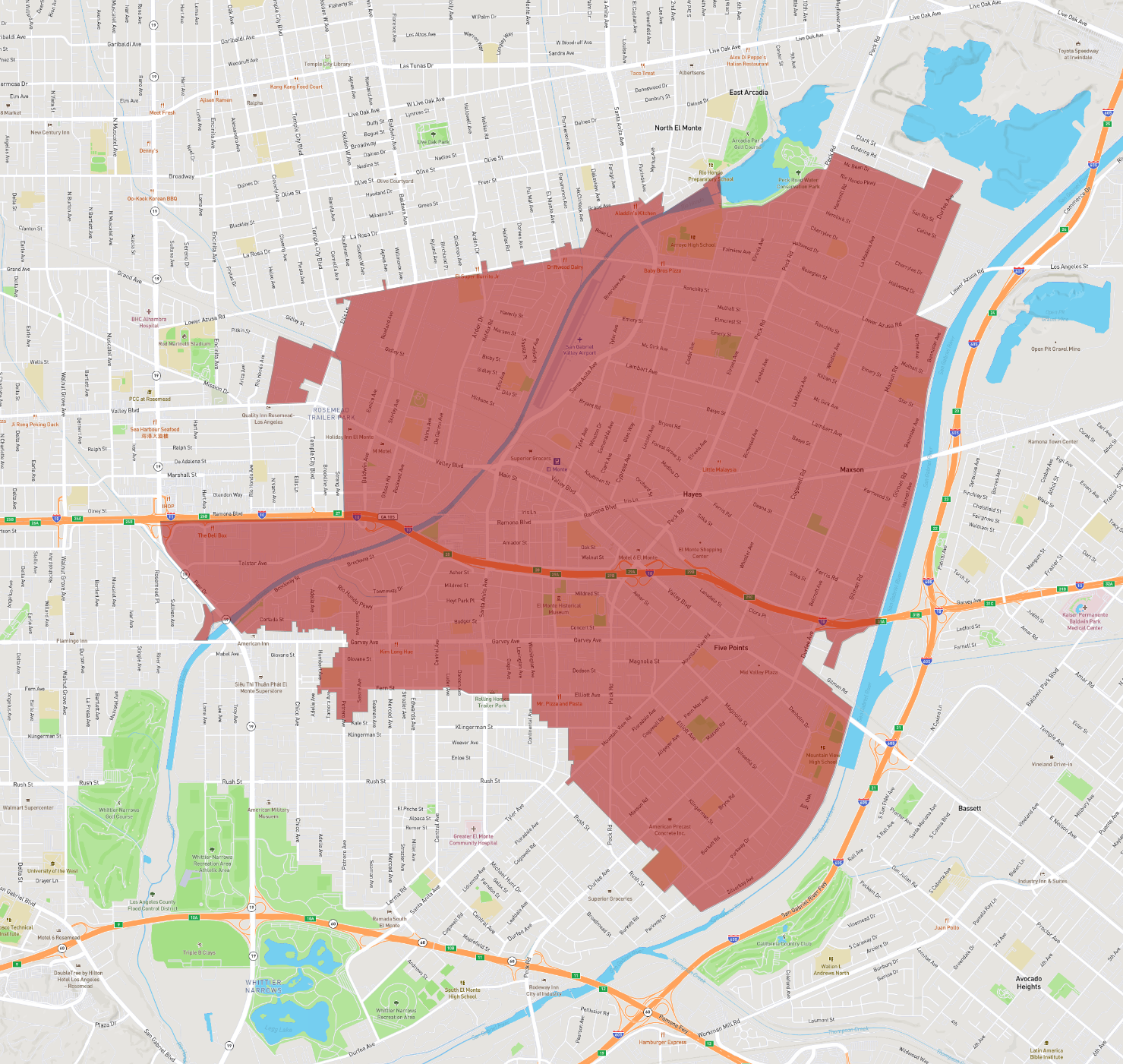
El Monte is a city situated in Los Angeles County, California, within the United States. Often described as "The End of the Santa Fe Trail," El Monte is nestled in the San Gabriel Valley, approximately 12 miles east of downtown Los Angeles. As of the 2020 census, the city had a population of around 115,000 residents.
Originally founded as an agricultural community, El Monte has evolved into a residential, industrial, and commercial city. The city is known for its diverse community and rich cultural heritage, reflected in various local festivals and community events that celebrate this diversity.
El Monte's education system is served by several school districts, including the El Monte Union High School District, which offers a range of educational programs to the city's youth. The city is strategic for transport with access to several major freeways such as Interstate 10 and State Route 60, facilitating easy commutes to and from nearby metropolitan areas.
The city also boasts numerous parks and recreational facilities, including the Whittier Narrows Recreation Area, which provides residents with ample space for outdoor activities. Despite challenges, El Monte continues to foster community development and urban revitalization, maintaining its place as a vibrant part of the San Gabriel Valley.
Basic Info
| Area | 24.898 km2 |
|---|