Flevoland
Maps and statistics of Flevoland
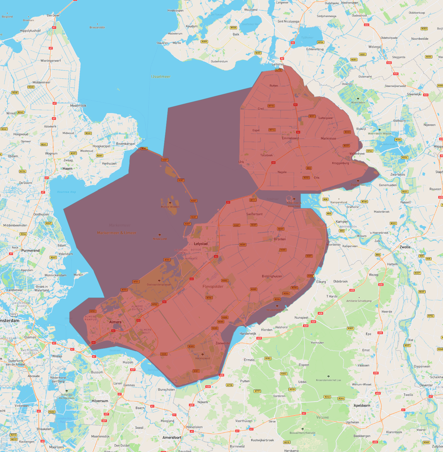
Flevoland is a province located in the central Netherlands, known for its unique origins and modern infrastructure. It was established in the 20th century through one of the largest land reclamation projects in history, transforming parts of the former Zuiderzee, a large inlet of the North Sea, into habitable land. Flevoland consists of two main polders: Eastern Flevoland and Southern Flevoland, along with Noordoostpolder, formerly part of the neighboring province.
The province officially came into existence in 1986, making it the newest Dutch province. It is bordered by several bodies of water, including the IJsselmeer, Markermeer, and the Veluwemeer, providing rich opportunities for water-based activities and tourism. Flevoland encompasses various towns and cities, with Lelystad serving as the capital and Almere being its largest city. These urban centers are hubs for culture, commerce, and innovation. The province is known for its modern architecture, extensive nature reserves, and the Oostvaardersplassen, a renowned wildlife preserve. Flevoland's development exemplifies Dutch ingenuity in water management and urban planning.
| Population | 423,021 |
|---|---|
| Area | 2,413.483 km2 |