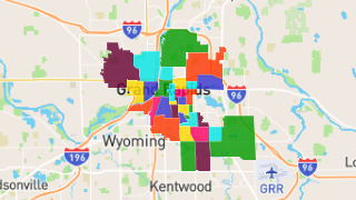
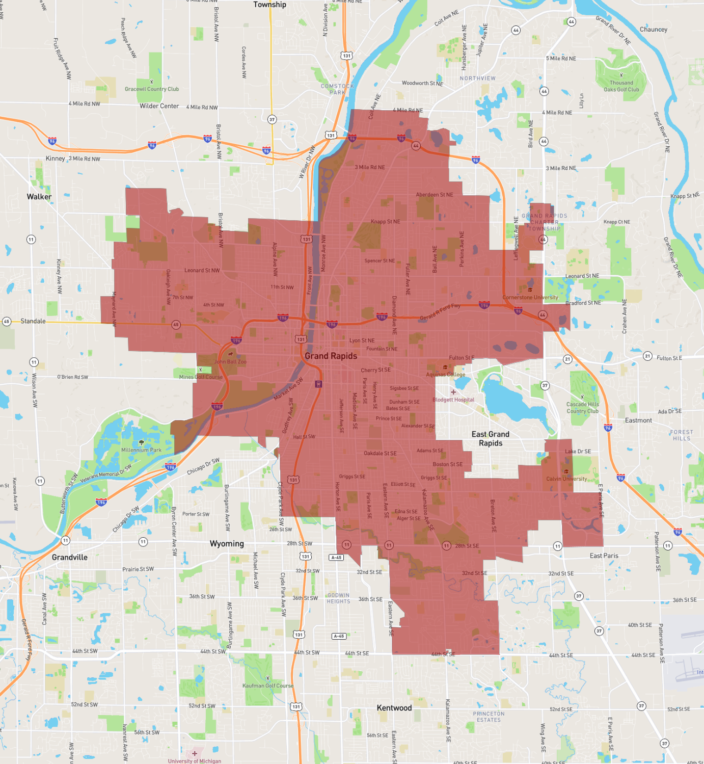
Grand Rapids
Maps and Statistics of Grand Rapids
Grand Rapids, located in the western part of Michigan, is the second-largest city in the state. Known as the "Furniture City," it has a rich history in the furniture manufacturing industry. Today, it is recognized for its vibrant arts scene and craft beer culture, often referred to as "Beer City, USA" due to its numerous breweries and beer festivals.
The Grand River runs through the city, offering picturesque views and recreational opportunities. Landmarks include the Frederik Meijer Gardens & Sculpture Park, which features an impressive collection of sculptures and beautifully curated botanical gardens. The Gerald R. Ford Presidential Museum honors the 38th President of the United States, who hailed from Grand Rapids.
Cultural attractions abound in the city, with venues like the Grand Rapids Art Museum and the DeVos Place convention center. The city is also a hub for education and healthcare, hosting institutions like Grand Valley State University and the Spectrum Health system. With its mix of industry, culture, and education, Grand Rapids is a dynamic city with a strong community spirit.
Basic Info
| Area | 117.386 km2 |
|---|