Joliet
Maps and Statistics of Joliet
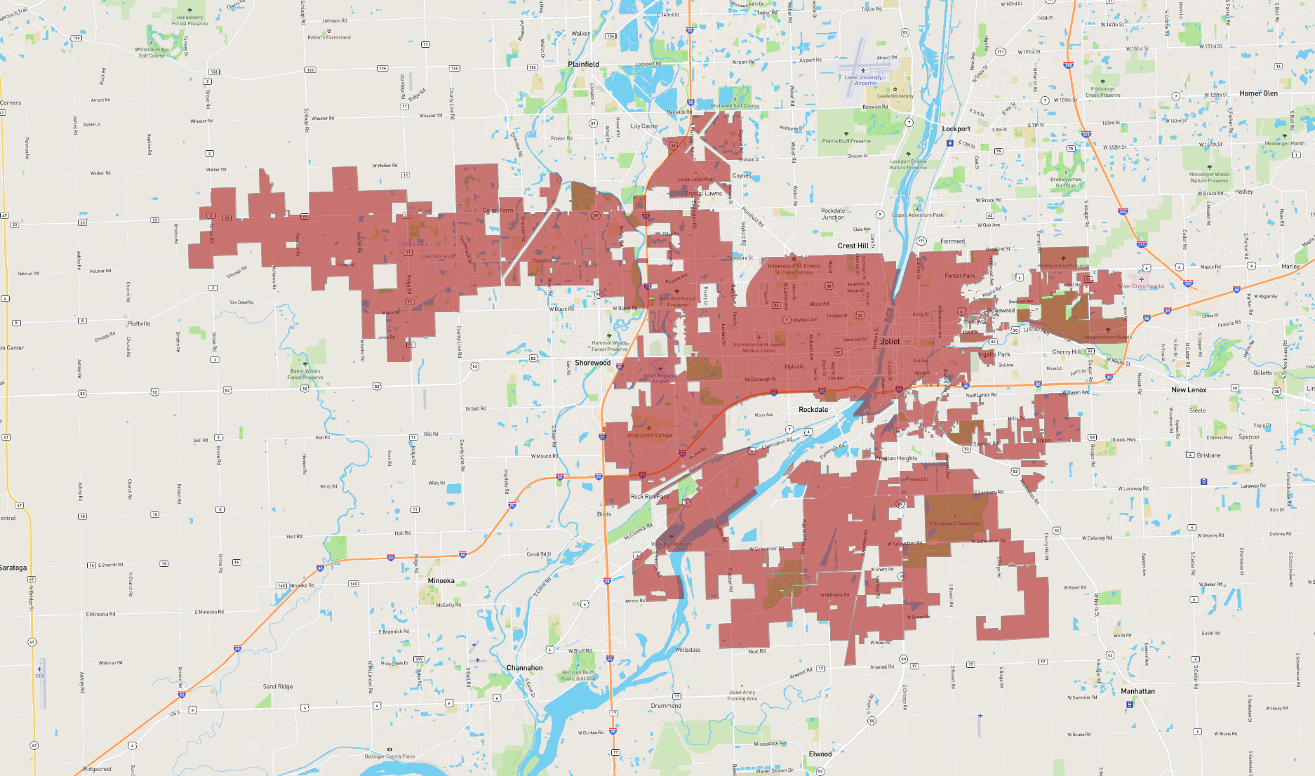
Joliet is a city situated in Illinois, just southwest of Chicago. As of recent estimates, it is one of the fastest-growing cities in the Midwestern United States, with a diverse population contributing to its vibrant community. Historically, Joliet was a key industrial hub with strong roots in steel and manufacturing, although it has since transitioned to a more service-oriented economy. The city is known for its rich history, evident in landmarks like the Rialto Square Theatre, which showcases stunning vaudeville-era architecture.
Joliet's unique geographic location provides residents and visitors with easy access to regional attractions and amenities. The city is intersected by major transport routes, including Interstate 80 and Interstate 55, which foster connectivity and economic activity. Recreational spaces like the Joliet Iron Works Park and the nearby Midewin National Tallgrass Prairie offer outdoor adventures.
Culturally, Joliet boasts a varied arts scene, several museums, and annual events like the Joliet Blues Fest. It is also home to the Chicagoland Speedway and Route 66 Raceway, making it a central spot for motorsport enthusiasts. The city’s continued development, coupled with its historical charm, make Joliet a dynamic part of Illinois.
Basic Info
| Area | 168.478 km2 |
|---|