Jurupa Valley
Maps and Statistics of Jurupa Valley
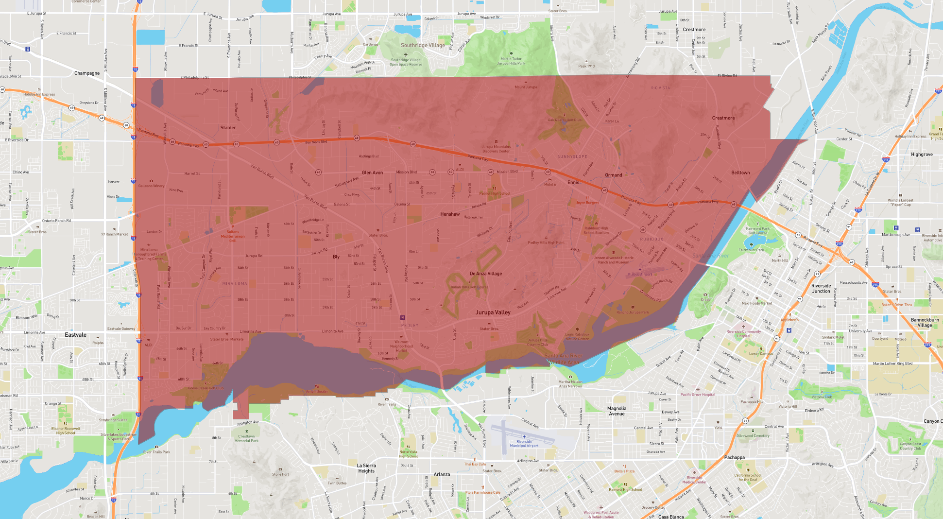
Jurupa Valley is a city located in Riverside County, California, situated in the Inland Empire region. Officially incorporating on July 1, 2011, the city emerged from the unincorporated communities of Mira Loma, Glen Avon, Sunnyslope, Rubidoux, and Pedley. Jurupa Valley is bordered by Eastvale to the west, Riverside to the south, and Fontana to the north, providing residents with a mix of suburban and semi-rural living environments.
The city covers an area of approximately 43.5 square miles and is part of a rapidly growing region, benefiting from its proximity to major transportation routes such as Interstate 15 and State Route 60. The historic Mission Inn located in the nearby city of Riverside along with the scenic beauty of the Santa Ana River provide recreational opportunities for residents and visitors alike.
Jurupa Valley places a strong emphasis on preserving its natural spaces, boasting several parks and trails, including the sprawling Santa Ana River Trail. The city is also home to the Jurupa Mountains Discovery Center, an educational facility offering insights into the area's rich geological and paleontological history.
Basic Info
| Area | 116.787 km2 |
|---|