Landkreis Fürstenfeldbruck
Maps and statistics of the Fürstenfeldbruck district
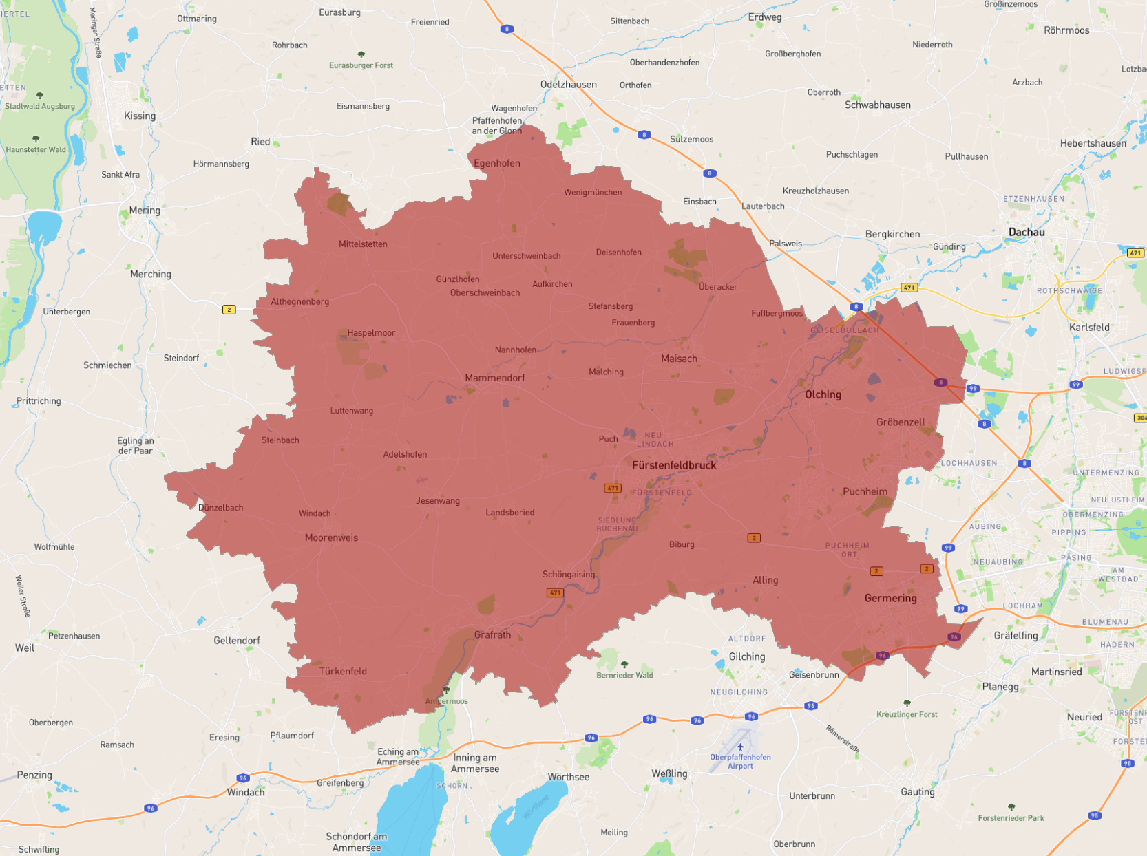
Landkreis Fürstenfeldbruck is a district in Bavaria, Germany. It is located west of Munich, covering an area of approximately 435 square kilometers. The district features a mix of urban and rural landscapes, with numerous small towns and villages. The district is known for its rich history, particularly the Fürstenfeld Abbey, a former monastery with stunning architecture. The Amper River runs through the district, offering scenic views and outdoor recreational activities. The proximity to Munich adds to its appeal, making it a popular residential area.
| Population | 216,912 |
|---|---|
| Area | 434.803 km2 |
| Federal State |