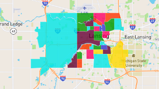
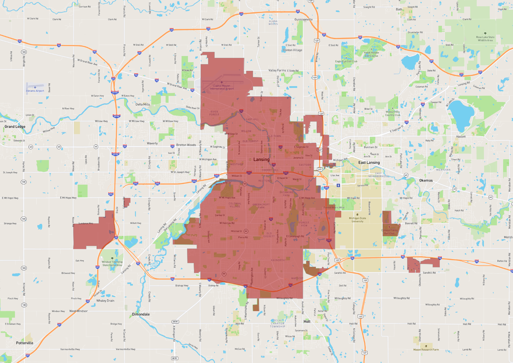
Lansing
Maps and Statistics of Lansing
Lansing is the capital city of the state of Michigan, United States. It is situated mostly in Ingham County, although parts extend into Eaton County. The city was incorporated in 1859 and became the state capital in 1847, primarily for its more central location compared to Detroit. As of the most recent census, Lansing has a diverse population that exceeds 110,000 residents.
Lansing is known for being a major center for education, culture, government, and business in Mid-Michigan. It is home to Michigan State University (MSU) in neighboring East Lansing, one of the largest universities in the United States and a significant contributor to the local economy, bringing research, innovation, and a vibrant college-town atmosphere to the region.
The city hosts a range of cultural institutions, including the Michigan State Capitol, the Michigan History Center, and the Impression 5 Science Center. Lansing also features several parks and recreational facilities, making it an attractive destination for nature lovers. With its blend of politics, education, and industry, Lansing serves as a dynamic hub in the heart of Michigan.
Basic Info
| Area | 102.817 km2 |
|---|