Lower Austria
Maps and statistics of Lower Austria
Lower Austria, known as Niederösterreich in German, is the largest state by area in Austria, located in the northeastern part of the country. It surrounds Vienna, the Austrian capital, and shares international borders with the Czech Republic and Slovakia. Its administrative capital is Sankt Pölten, but the historical and cultural heart is often considered to be Krems an der Donau.
The region is characterized by diverse landscapes, including the fertile plains of the Weinviertel, the forested hills of the Waldviertel, and the scenic valleys of the Wachau, a UNESCO World Heritage Site renowned for its terraced vineyards and historic architecture. The Danube River flows through Lower Austria, providing a vital waterway and scenic backdrop for tourism and agriculture.
Economically, Lower Austria is important for agriculture, particularly viticulture, with some of Austria's best wines produced in the region. It is also home to a mix of industries, from manufacturing to renewable energy. The state's rich history is reflected in its numerous castles, abbeys, and cultural festivals, making it a popular destination for both local and international tourists.
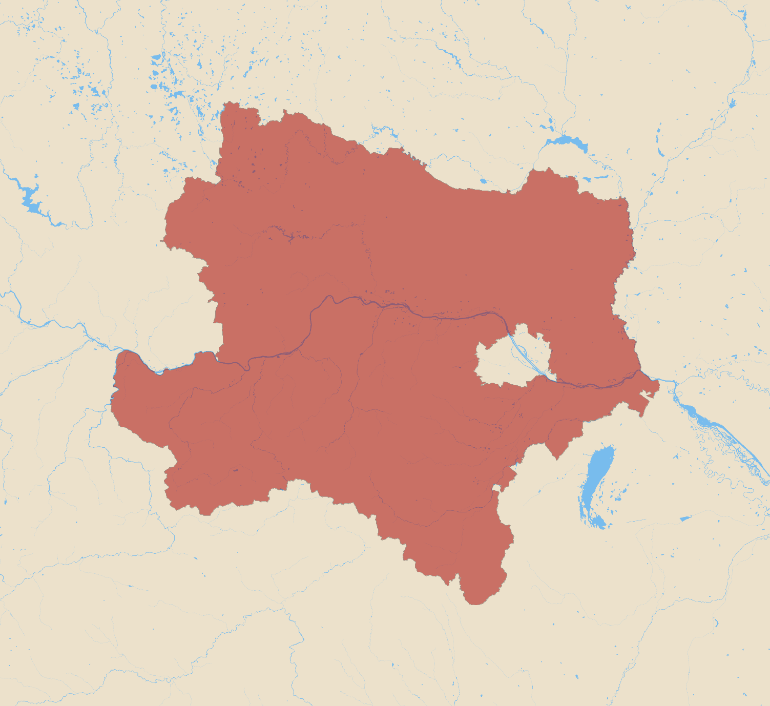
| Area | 19,208.337 km2 |
|---|