McAllen
Maps and Statistics of McAllen
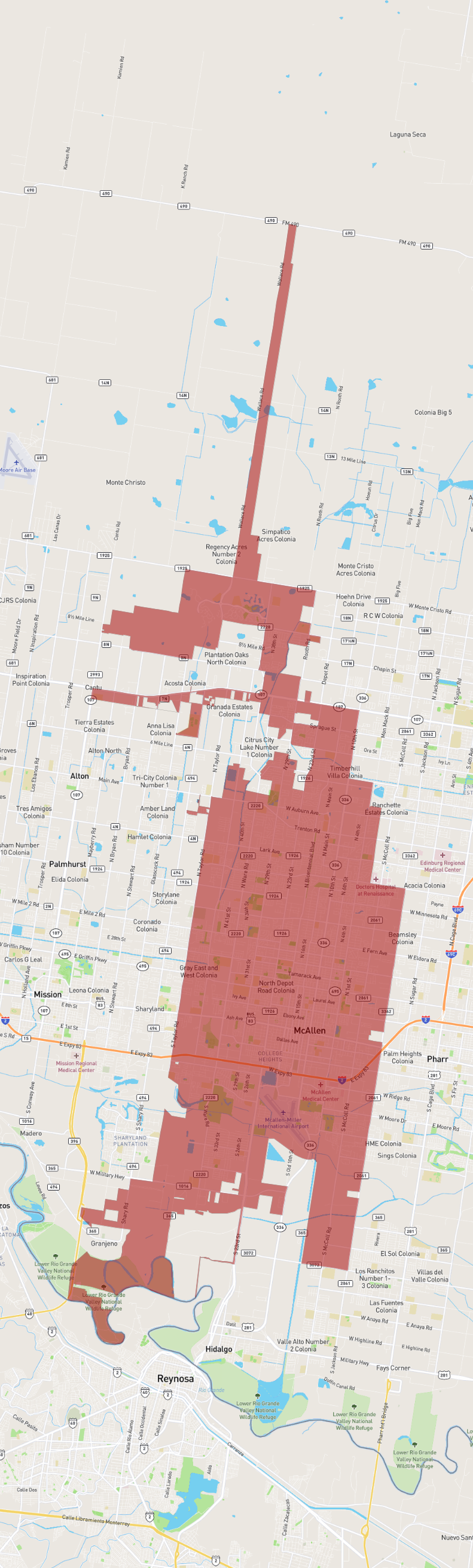
McAllen is a city situated in the southernmost part of Texas, within Hidalgo County. Known for its warm climate, McAllen is part of the larger Rio Grande Valley region, which is near the Mexico-United States border. As of recent estimates, the city's population is approximately 140,000 residents. McAllen serves as a significant retail hub, attracting shoppers from both sides of the border, thanks to its robust commercial sector with numerous shopping centers and malls. The McAllen-Hidalgo International Bridge facilitates cross-border trade and tourism.
Economically, McAllen has diversified from its agricultural roots to include sectors like healthcare, retail, and international trade. The McAllen Medical Center and other healthcare facilities provide substantial employment to the region. Culturally, the city hosts events such as the annual PalmFest, celebrating the area's heritage and local community. Additionally, McAllen is known for its proximity to the Santa Ana National Wildlife Refuge, a haven for birdwatchers and nature enthusiasts. Despite its urban growth, the city manages to balance modern development with rich cultural traditions.
Basic Info
| Area | 152.167 km2 |
|---|