Murrieta
Maps and Statistics of Murrieta
Murrieta is a city located in southwestern California, USA, within Riverside County. Established in 1991, Murrieta has grown rapidly due to its strategic location and appealing environment. It is part of the Inland Empire region, known for its suburban living with a mix of residential and commercial developments. Murrieta's close proximity to major interstates like I-15 and I-215 facilitates easy access to cities such as San Diego and Los Angeles, making it a desirable location for commuters.
The city is well-regarded for its quality of life, with a variety of recreational parks, trails, and open spaces. The Santa Rosa Plateau, a protected nature reserve nearby, offers opportunities for hiking and wildlife observation. Murrieta's public education system is served by the Murrieta Valley Unified School District, known for its high-performing schools. The city also hosts community events like the annual Murrieta Fire & Rescue "Firefighters Barbecue."
With a focus on safety, Murrieta consistently ranks as one of the safest cities in California, enhancing its attractiveness for families and retirees looking for a serene yet connected place to live.
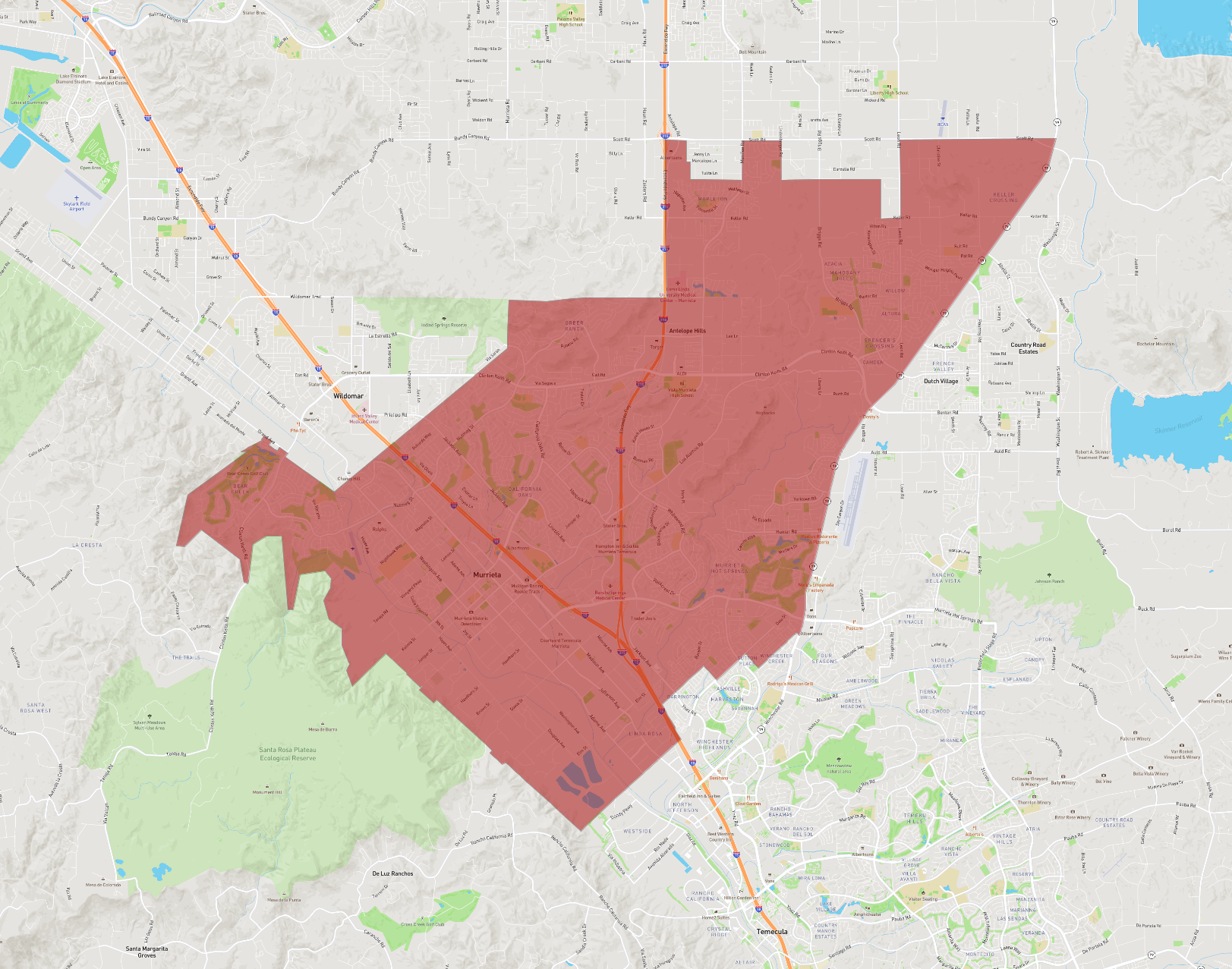
Basic Info
| Area | 108.747 km2 |
|---|