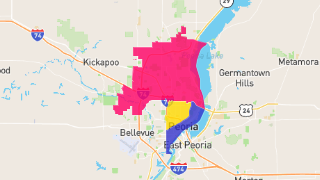
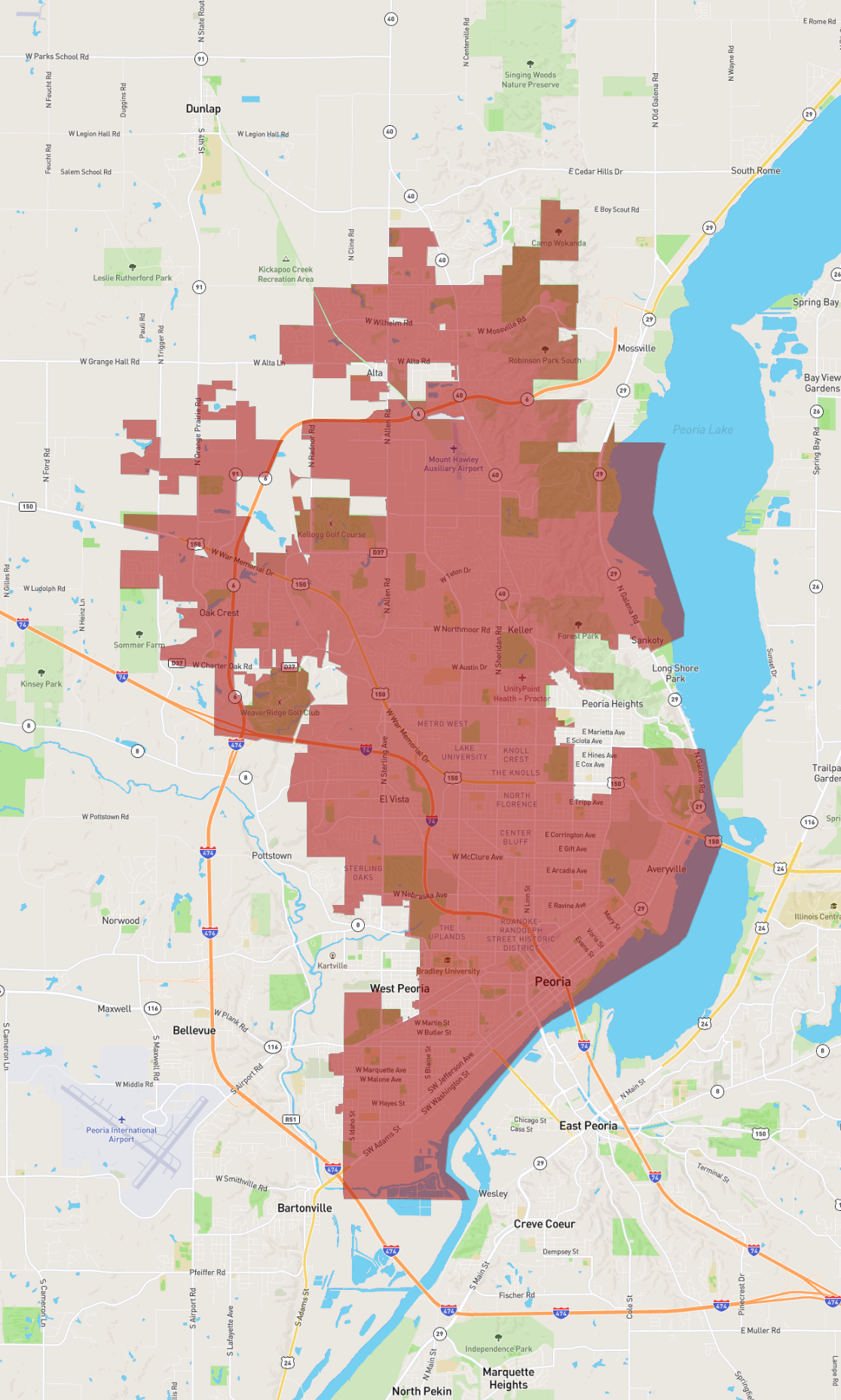
Peoria
Maps and Statistics of Peoria
Peoria, located in Illinois, is a city with a rich history and a vibrant community. Established in 1691 by French explorer Henri de Tonti, it is one of the oldest European settlements in the state. Peoria sits along the banks of the Illinois River, providing scenic views and opportunities for outdoor activities. It serves as the county seat of Peoria County and plays a significant role in the region’s economy and culture.
The city is home to a diverse economy, with industries such as manufacturing, healthcare, and agriculture playing a pivotal role. One of its notable companies is Caterpillar Inc., a leading manufacturer of construction and mining equipment. Peoria is also known for its healthcare sector, with prominent institutions like OSF Saint Francis Medical Center and UnityPoint Health.
Cultural attractions in Peoria include the Peoria Riverfront Museum, which offers engaging exhibits and a planetarium, and the Peoria Civic Center, a hub for entertainment and events. The city’s Grandview Drive, referred to by President Theodore Roosevelt as the "world's most beautiful drive," offers stunning views of the river and lush landscapes. Peoria's neighborhoods feature a mix of suburban and urban living, providing residents with diverse living options.
Basic Info
| Area | 131.108 km2 |
|---|