Richmond
Maps and Statistics of Richmond
Richmond is a vibrant city located in California, part of the San Francisco Bay Area and within Contra Costa County. Established in 1905, Richmond has grown into a key industrial city with a diverse demographic and rich history. The city played a crucial role during World War II, notably through the Richmond Shipyards, which constructed numerous ships in a short time period, reflecting its industrial strength.
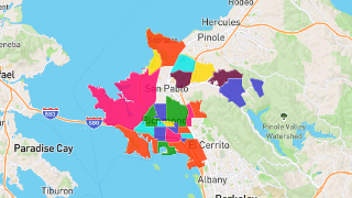
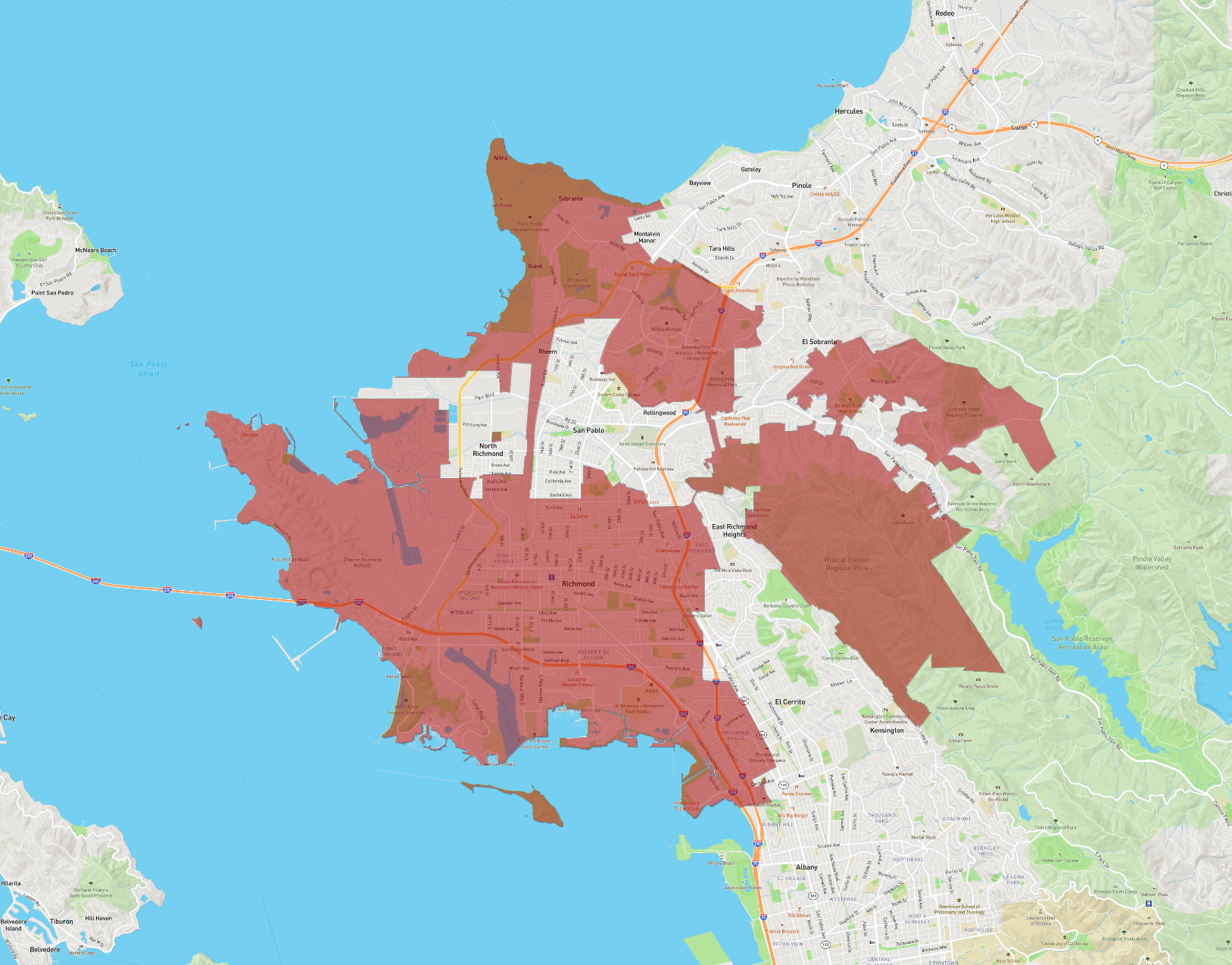
Today, Richmond spans approximately 52 square miles, including land and water areas, offering scenic views of the San Francisco Bay. It is well-connected through various transportation networks like the Richmond BART station, which links it to other major Bay Area destinations.
Culturally, Richmond is home to a diverse population, contributing to its vibrant arts scene and cultural festivals. The city hosts numerous parks and is known for its commitment to green spaces, with the Richmond Greenway serving as a testament to these efforts.
Richmond is also committed to education and innovation, with institutions like the Rosie the Riveter/World War II Home Front National Historical Park highlighting its historical significance. This blend of history, culture, and industry makes Richmond a unique and dynamic city within California.
Basic Info
| Area | 78.967 km2 |
|---|