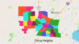
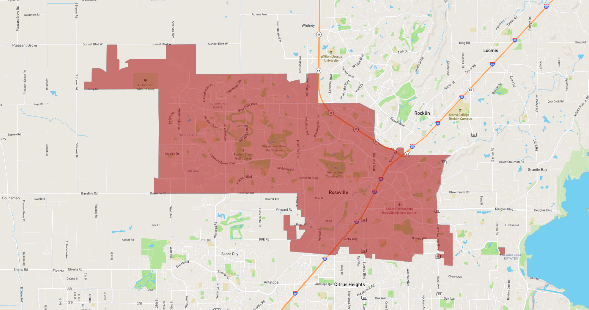
Roseville
Maps and Statistics of Roseville
Roseville is a city located in California, part of the Sacramento metropolitan area. It is situated in Placer County and is the largest city within the county. Roseville's origins date back to its establishment as a stagecoach station called Griders, which later became known as Junction, due to its strategic role in the railroad industry. The city officially adopted the name Roseville in 1909.
Throughout the 20th century, Roseville evolved into a key hub for retail, commerce, and industry. It is home to the Westfield Galleria at Roseville, one of the largest shopping centers in Northern California, which attracts visitors from across the region. The city's economy is diversified, with strong sectors in health care, technology, and retail.
Roseville offers a robust public school system, several parks, and recreational facilities, making it a desirable area for families. Additionally, the Roseville Rail Yard is one of the busiest in the western United States, reinforcing the city's historical ties to the railroad industry. Known for its high quality of life, Roseville continues to experience steady growth while maintaining its community-focused atmosphere.
Basic Info
| Area | 114.497 km2 |
|---|