Salem
Maps and Statistics of Salem
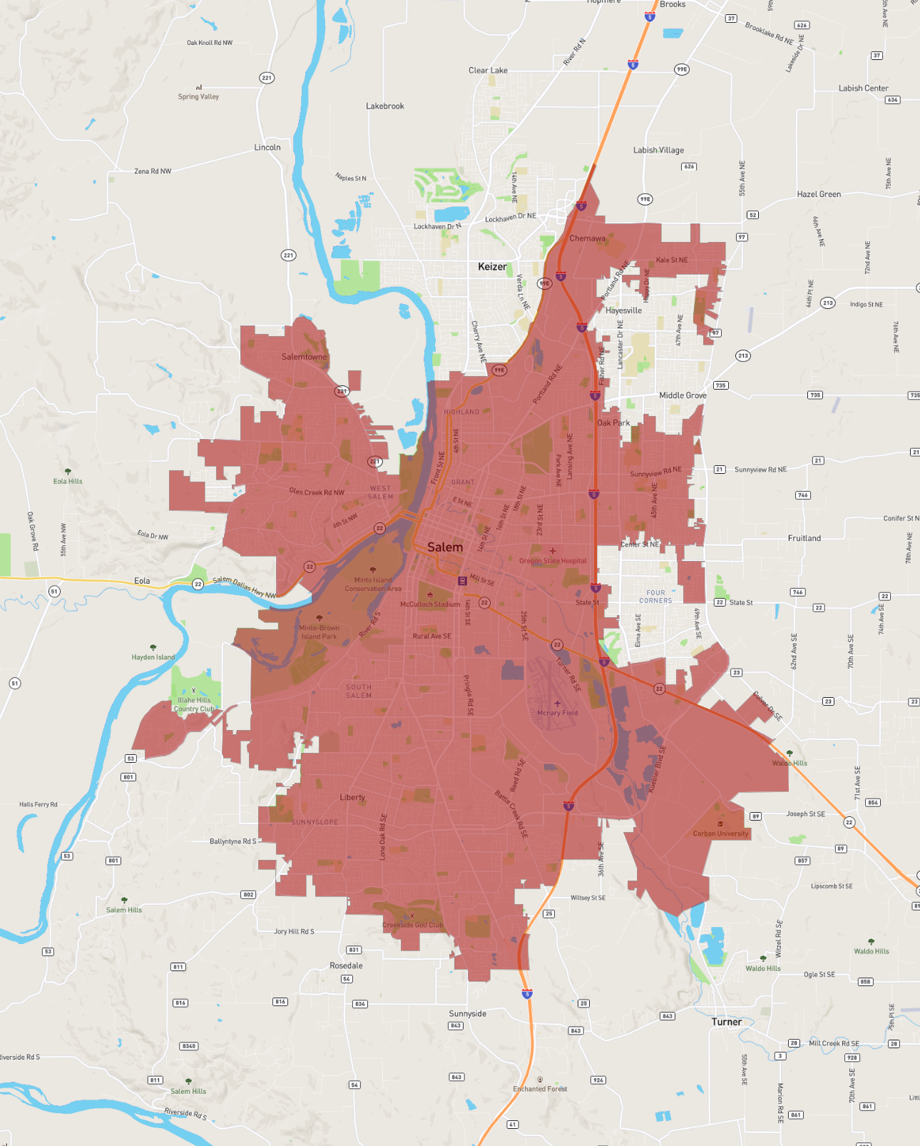
Salem, the capital city of Oregon, is situated in the northwestern part of the United States. Nestled in the heart of the Willamette Valley, it lies along the Willamette River, which flows north through the city. As of recent estimates, Salem has a diverse population approaching 180,000 residents, making it the third-largest city in Oregon.
Founded in 1842 and incorporated in 1857, Salem has a rich history, with many historical sites and buildings, such as the Oregon State Capitol, a prominent structure with its distinctive gold-plated pioneer statue atop the dome. The city's economy is bolstered by state government activities, but it also has strong agricultural roots, with surrounding areas producing crops like cherries, hazelnuts, and wine grapes.
Educationally, Salem is home to Willamette University, the oldest university in the Western United States, which adds to the city's vibrant cultural life. The city offers numerous parks and recreational activities, such as those in Bush’s Pasture Park and along the Willamette River, appealing to both residents and visitors alike.
Basic Info
| Area | 127.462 km2 |
|---|