San Bernardino
Maps and Statistics of San Bernardino
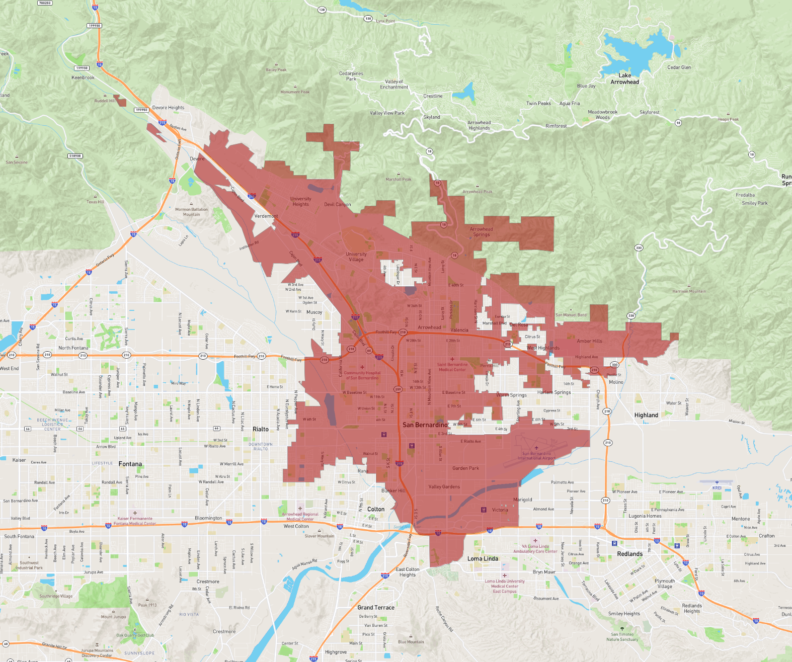
San Bernardino is a city located in the state of California in the United States. It serves as the county seat of San Bernardino County, one of the largest counties in the country by area. Nestled in the Inland Empire region, the city is part of the Greater Los Angeles Area and is approximately 60 miles east of Los Angeles. San Bernardino is known for its picturesque surroundings, bordered by the San Bernardino Mountains, offering numerous outdoor recreational activities like hiking, skiing, and mountain biking.
Founded in 1810, the city has a rich history deeply connected to the development of the American Southwest and the Route 66 highway, which runs through it. San Bernardino is home to several higher education institutions, including California State University, San Bernardino. The city's economy historically revolved around agriculture and railroads, but today it is more diversified, with sectors like healthcare, education, and transportation playing significant roles. Despite facing economic challenges, San Bernardino continues to be a vibrant community with ongoing efforts towards revitalization and development.
Basic Info
| Area | 161.099 km2 |
|---|