Santa Clarita
Maps and Statistics of Santa Clarita
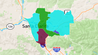
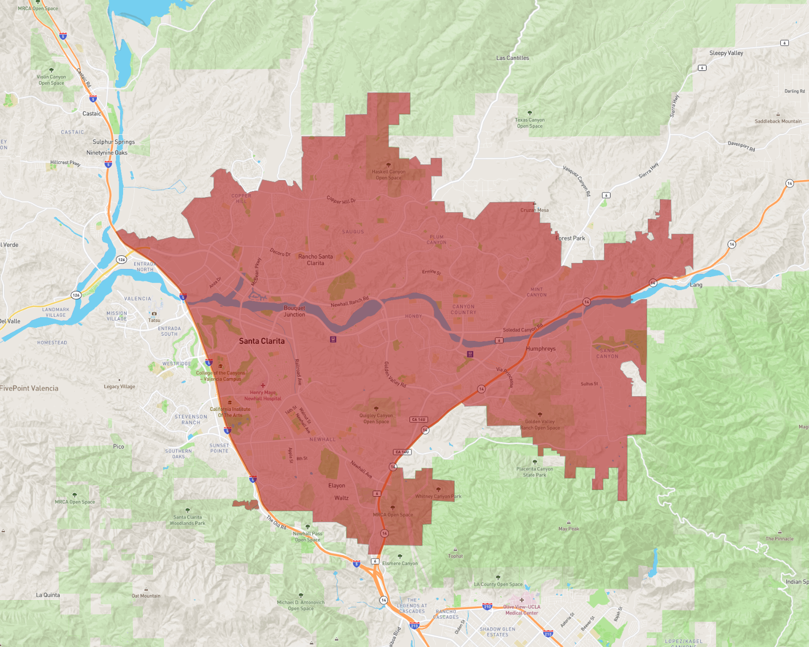
Santa Clarita, situated in California, is a vibrant city known for its picturesque landscapes and suburban charm. As part of Los Angeles County, it is the third-largest city in the county and one of the safest in the nation. Located roughly 30 miles northwest of Los Angeles, it offers a balanced lifestyle with access to urban amenities and natural beauty.
The city is renowned for its family-friendly environment, boasting excellent schools and community events. Santa Clarita is home to Six Flags Magic Mountain, one of the nation's most thrilling amusement parks, and the adjacent Hurricane Harbor water park. These attractions draw visitors from across the state, enhancing the city's tourism appeal.
Outdoor enthusiasts appreciate the extensive network of parks and hiking trails, including the Santa Clarita Woodlands Park and the nearby Angeles National Forest. The city also values its rich history, showcased at the William S. Hart Museum and the Heritage Junction Historic Park.
With a growing economy, Santa Clarita serves as a hub for business and innovation, hosting several enterprise and industrial centers. Its strategic location near major highways, like Interstate 5, facilitates easy commuting to Los Angeles and other surrounding areas.
Basic Info
| Area | 183.576 km2 |
|---|