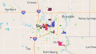
Sioux Falls
Maps and Statistics of Sioux Falls
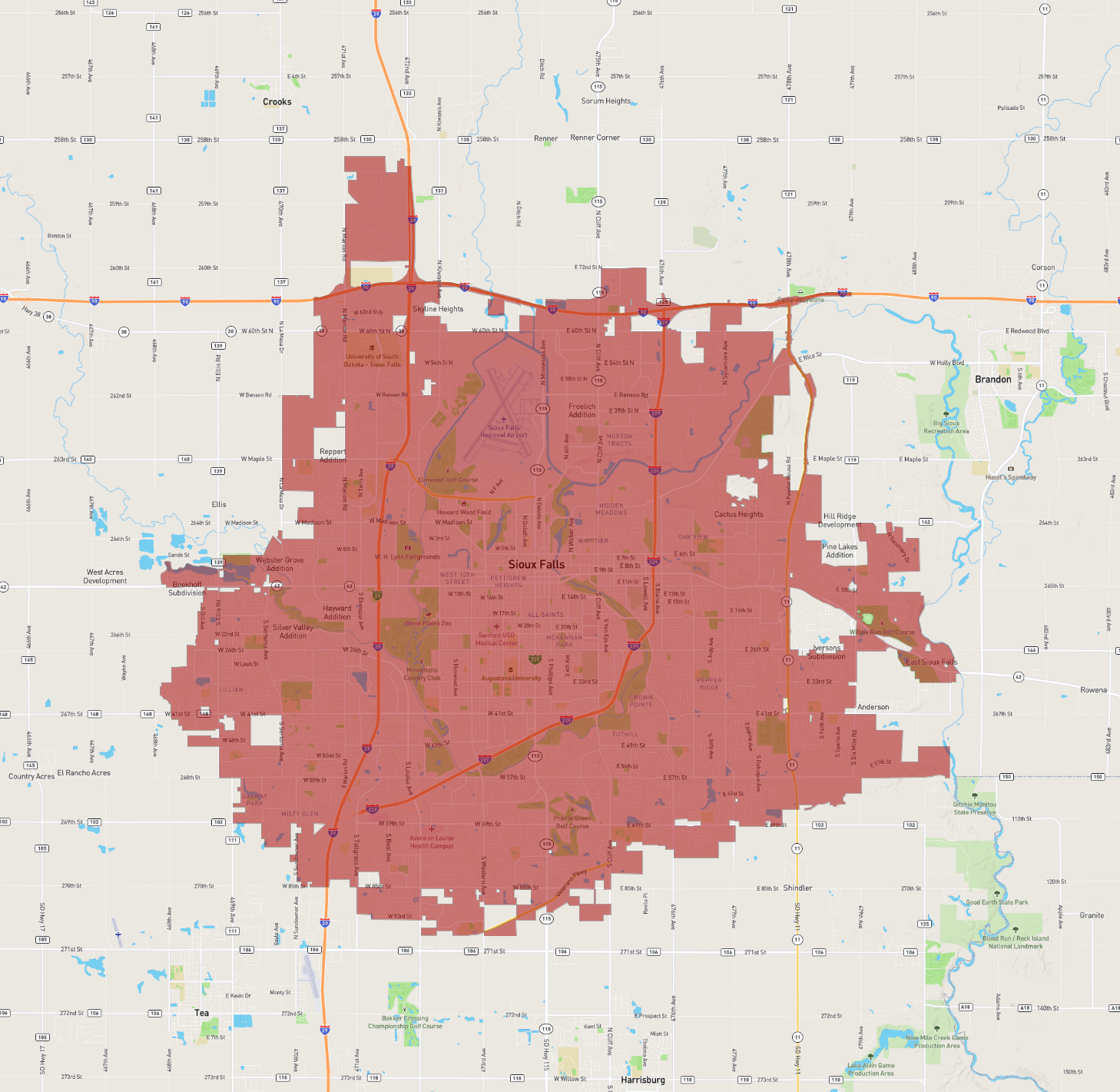
Sioux Falls is the largest city in South Dakota, located in the southeastern part of the state. It serves as the county seat of Minnehaha County and extends into Lincoln County. Established in 1856, Sioux Falls is known for its rich history, vibrant cultural scene, and rapid economic growth. The city is named after the Sioux Tribe and the majestic waterfalls of the Big Sioux River, which run through the heart of the city, offering scenic views and recreational opportunities.
The economy of Sioux Falls is diverse, with major sectors including health care, finance, retail, and agriculture. The presence of health care institutions like Sanford Health and Avera Health makes it a regional medical hub. Financial services also thrive, with several national companies having operations there.
Sioux Falls boasts numerous parks and green spaces, including Falls Park, which highlights the city's iconic waterfalls. Cultural attractions include the Washington Pavilion, which hosts art exhibits, science explorations, and concerts. Overall, Sioux Falls is characterized by its community spirit, quality of life, and continuous development.
Basic Info
| Area | 219.144 km2 |
|---|