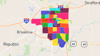
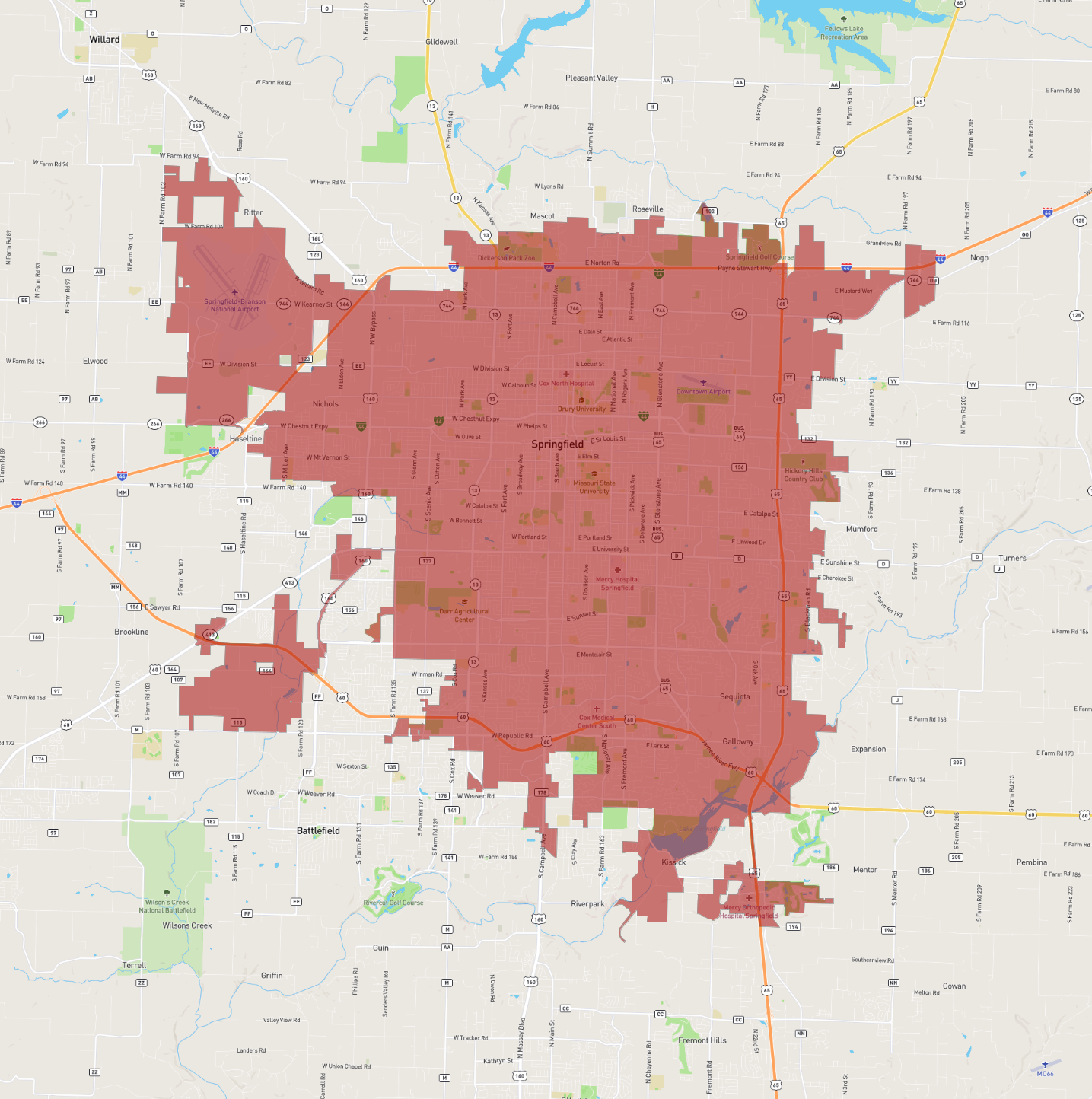
Springfield
Maps and Statistics of Springfield
Springfield, located in Missouri, is the third-largest city in the state and serves as the county seat of Greene County. Known for its vibrant cultural scene and rich history, Springfield is often referred to as the "Queen City of the Ozarks." With a population of approximately 170,000 people, it is a key economic and cultural hub in the region.
The city is home to several educational institutions, including Missouri State University, which significantly contributes to its dynamic and youthful atmosphere. Springfield's economy is diverse, with strong sectors in healthcare, manufacturing, retail, and education. The city's healthcare industry is particularly notable, anchored by facilities like CoxHealth and Mercy Hospital.
Springfield boasts numerous parks and outdoor recreational opportunities, with the Ozark Mountains nearby offering hiking, fishing, and camping. Culturally, the city features a variety of museums, theaters, and music venues, including the Springfield Art Museum and the Juanita K. Hammons Hall for the Performing Arts. Additionally, Springfield’s historic Route 66 runs through the city, adding to its nostalgic charm.
Basic Info
| Area | 216.004 km2 |
|---|