Thornton
Maps and Statistics of Thornton
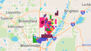
Thornton is a home rule municipality located in the northeastern part of Colorado, United States. As a suburb of Denver, it is part of the Denver-Aurora-Lakewood Metropolitan Statistical Area. Established in 1953, Thornton has grown rapidly and is known for its vibrant community and family-friendly atmosphere. With a population that has surged to over 140,000, it is one of the most populous cities in Colorado.
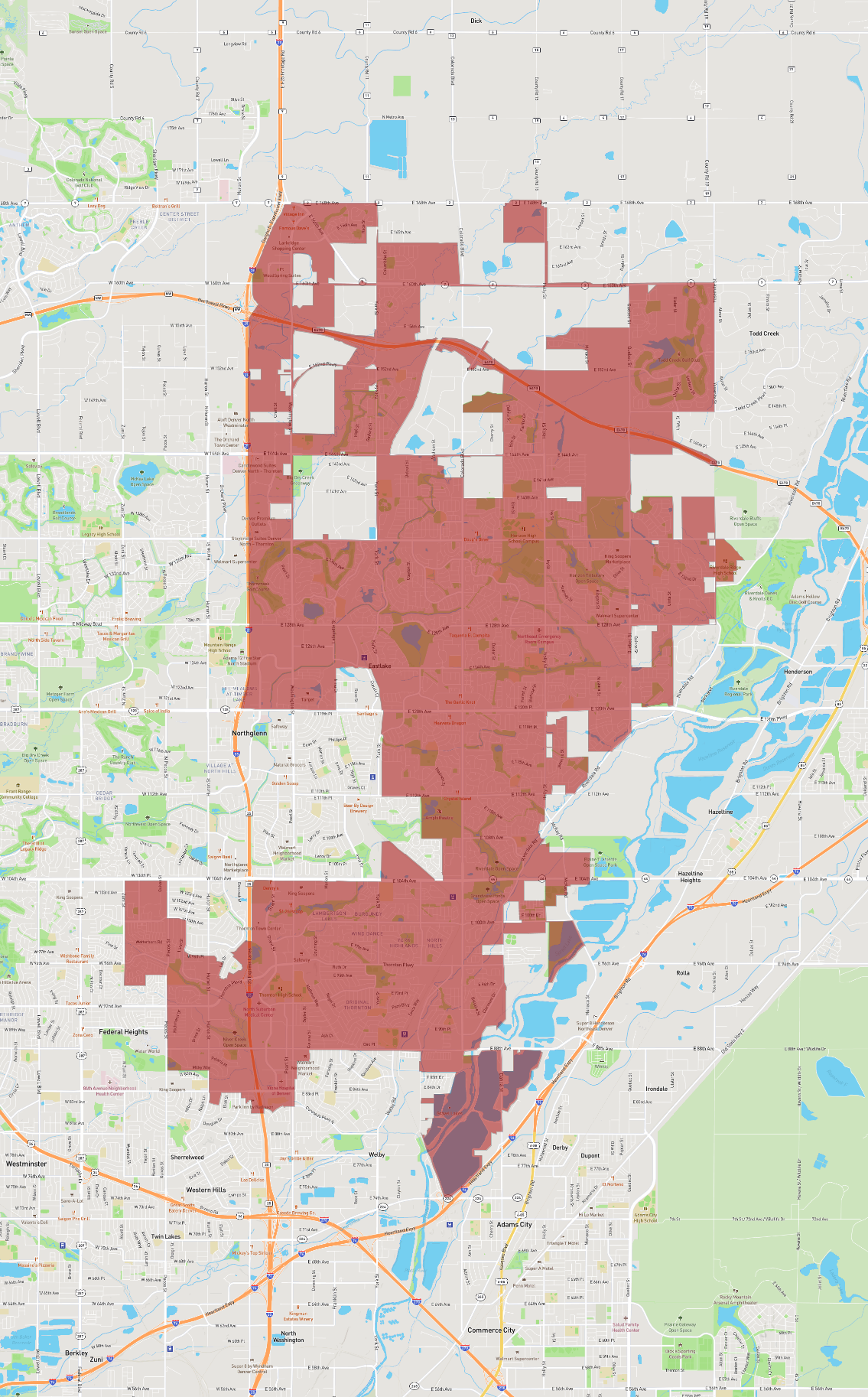
Thornton covers an area of approximately 27 square miles and is situated in both Adams and Weld counties. Its location provides residents with easy access to the urban amenities of Denver while maintaining a suburban feel. The city offers a range of recreational facilities, including parks, trails, and golf courses. Thornton is home to the Margaret W. Carpenter Recreation Center, a popular spot for leisure and fitness activities.
The city's economy is diverse, with sectors like retail, healthcare, and manufacturing playing significant roles. Thornton's schools are part of the Adams 12 Five Star Schools district, which is known for its commitment to educational excellence.
Basic Info
| Area | 94.319 km2 |
|---|