Topeka
Maps and Statistics of Topeka
Topeka is the capital city of the state of Kansas, United States. Located on the Kansas River in the central part of the state, it serves as the administrative and cultural hub of Kansas. Established in 1854, Topeka played a significant role in the Free State movement during the period leading up to the American Civil War. It was officially designated as the state capital in 1861 when Kansas joined the Union.
The city is known for its rich history, particularly its involvement in the Civil Rights Movement. The landmark 1954 U.S. Supreme Court case Brown v. Board of Education of Topeka was pivotal in ending racial segregation in public schools across the nation. The Brown v. Board of Education National Historic Site in Topeka commemorates this significant event in American history.
Topeka is also home to a diverse range of cultural and recreational attractions, including the Kansas State Capitol, known for its beautiful architecture and murals. The city boasts the Topeka Zoo, a popular destination for families, as well as numerous parks, lakes, and the scenic Kansas River for outdoor activities. Being a center of education, Topeka houses several institutions of higher learning, contributing to its vibrant community.
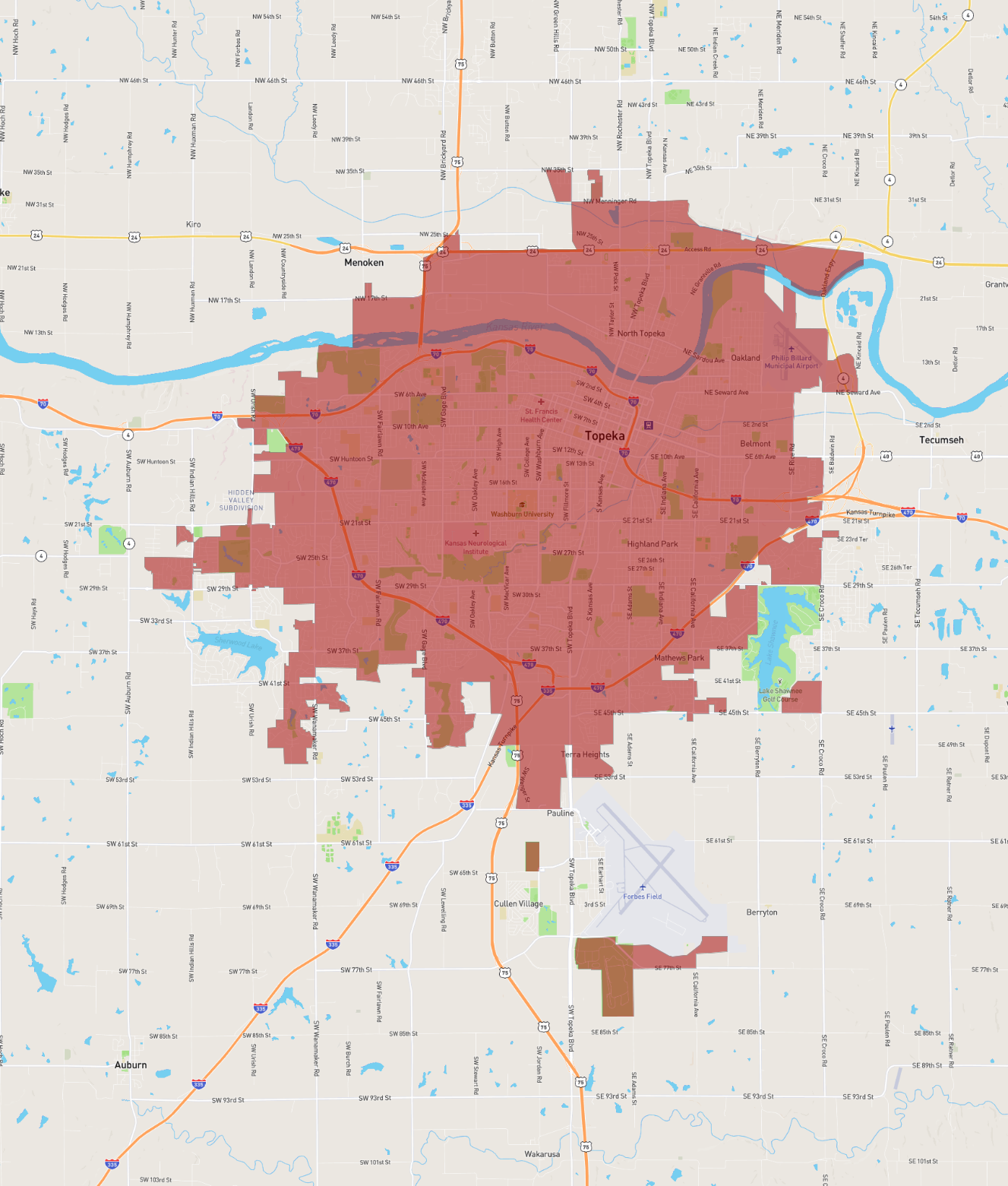
Basic Info
| Area | 160.529 km2 |
|---|