Upper Austria
Maps and statistics of Upper Austria
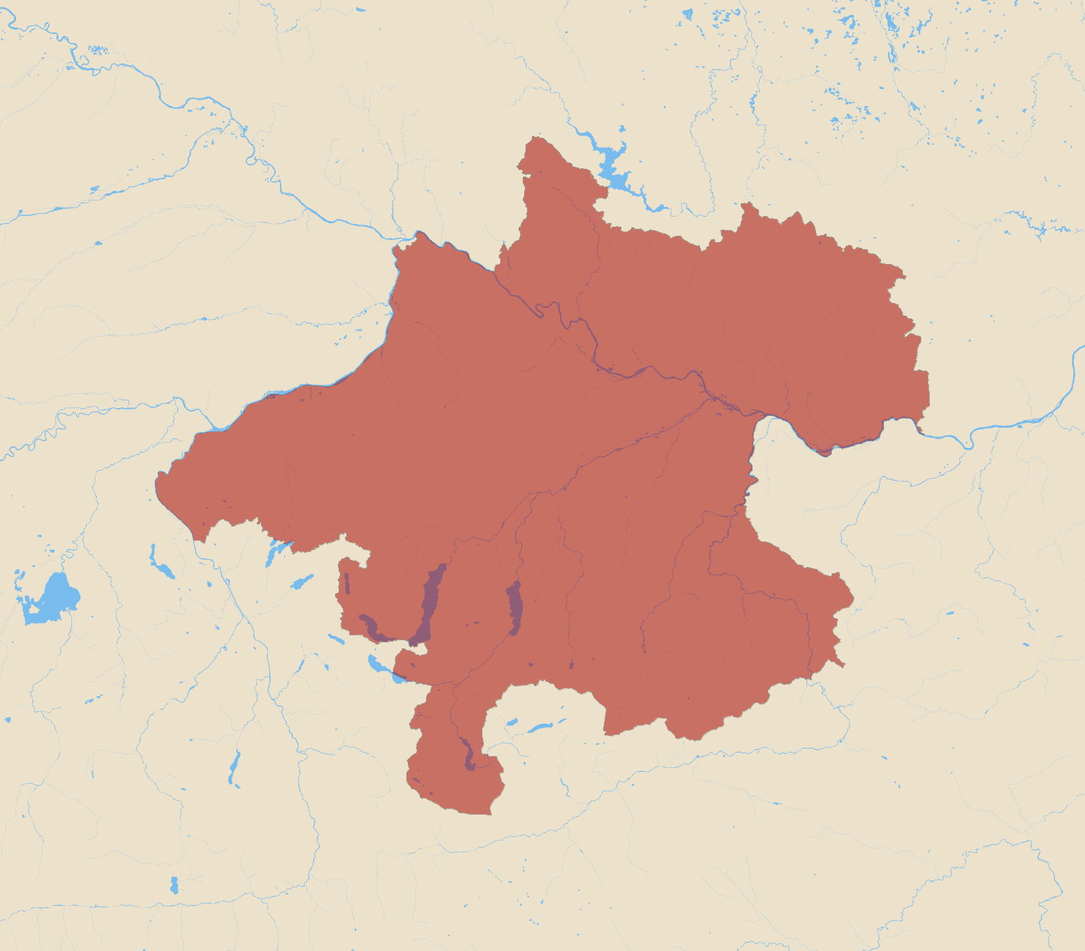
Upper Austria, or Oberösterreich in German, is one of Austria's nine federal states, located in the northern part of the country. It shares borders with Germany and the Czech Republic, as well as the Austrian states of Salzburg, Styria, and Lower Austria. The capital and largest city of Upper Austria is Linz, which is an important center for industry and education.
The region is characterized by its diverse landscapes, ranging from the fertile plains of the Danube River to the mountainous areas of the Salzkammergut, known for its scenic lakes and alpine terrain. Upper Austria plays a vital role in Austria's economy, with a focus on industries such as manufacturing, machinery, and chemicals. Additionally, it is renowned for its cultural heritage, featuring a mix of modern and traditional influences.
Tourism is also significant, with attractions including the Hallstatt, a picturesque village known for its salt production and historical significance. The state's rich cultural life is complemented by numerous festivals, museums, and theaters. Upper Austria's robust infrastructure and quality of life contribute to its reputation as a vibrant and dynamic region.
| Area | 11,991.656 km2 |
|---|