Vacaville
Maps and Statistics of Vacaville
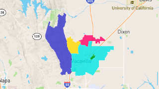
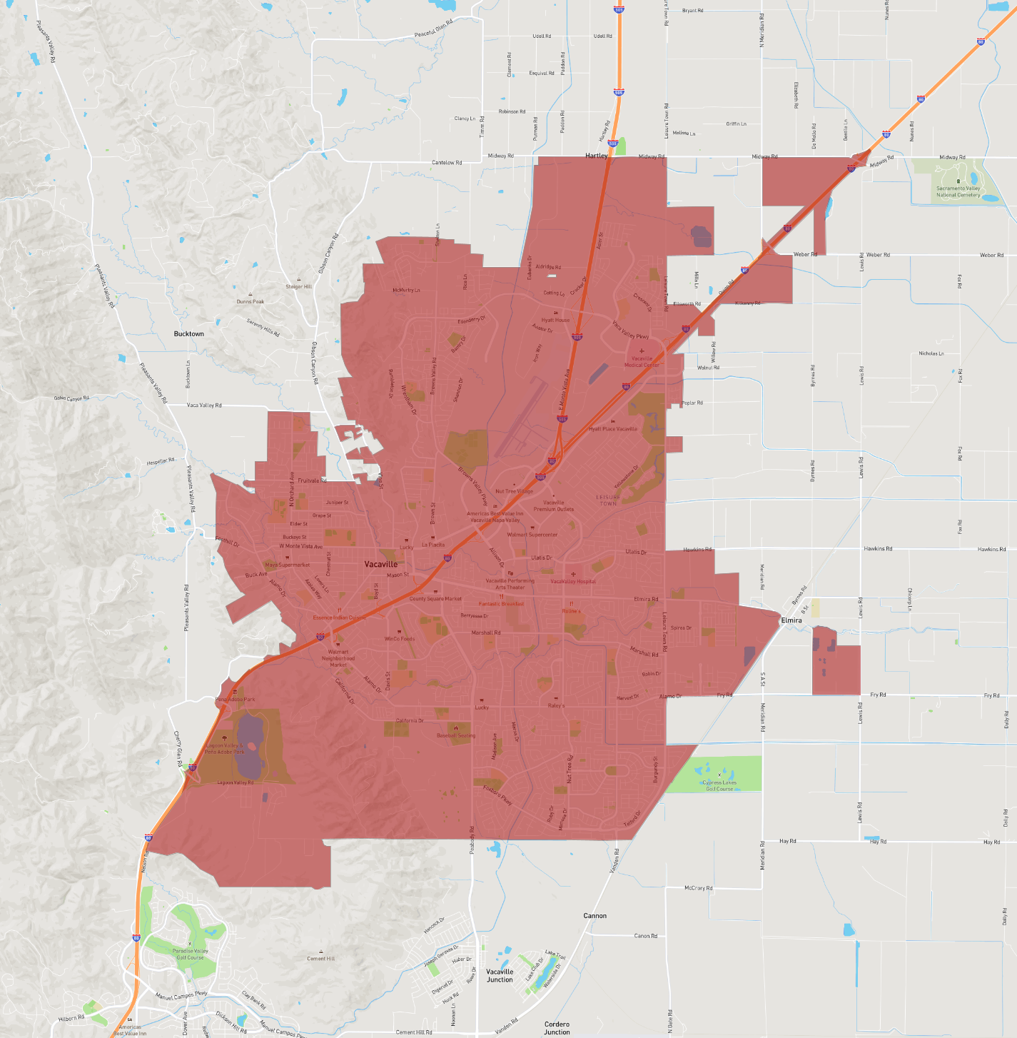
Vacaville is a city located in California, situated in Solano County. It is part of the San Francisco Bay Area and lies approximately 35 miles southwest of Sacramento and 55 miles northeast of San Francisco. As of the 2020 census, Vacaville had a population of around 102,000 residents. It has a rich history, having been established in 1851 by William McDaniel, and it was incorporated in 1892.
The city is notable for its Mediterranean climate, characterized by hot, dry summers and mild, wet winters. Vacaville is surrounded by rolling hills and fertile farmland, contributing to its reputation as an agricultural hub. The city is known for its fresh produce, including tomatoes, onions, and almonds.
Vacaville’s economy today is diverse, with sectors such as biotechnology, pharmaceuticals, and retail playing significant roles. The city is also home to the Vacaville Premium Outlets, a major shopping destination. Additionally, the nearby Nut Tree Plaza offers family-friendly attractions and dining options. With scenic parks, hiking trails, and community events, Vacaville offers a blend of suburban living with the charm of a smaller town.
Basic Info
| Area | 77.184 km2 |
|---|