Victorville
Maps and Statistics of Victorville
Victorville is a city located in the high desert region of Southern California, within San Bernardino County. It is situated along the southwestern edge of the Mojave Desert, offering a unique desert landscape that differs significantly from the coastal areas of the state. The city has a rich history, dating back to its role as a stop along the Mormon Road and later as a strategic point during the construction of the Santa Fe Railroad.
Victorville serves as a central hub for the Victor Valley region, which includes nearby communities such as Apple Valley and Hesperia. It's well-connected via major highways, such as Interstate 15, which facilitates travel to Los Angeles and Las Vegas. The city is also known for the California Route 66 Museum, celebrating the iconic highway with historical exhibits.
The economy of Victorville is diverse, with key industries including manufacturing, logistics, and retail. The Southern California Logistics Airport is a former military base now serving as a civilian airport, contributing to the local economy by supporting manufacturing and distribution activities.
Victorville offers residents and visitors various recreational opportunities, with nearby outdoor destinations including the Mojave Narrows Regional Park. The city's climate is characterized by hot summers and cool winters, typical of desert environments. With recent growth and development, Victorville continues to evolve while retaining its unique desert charm.
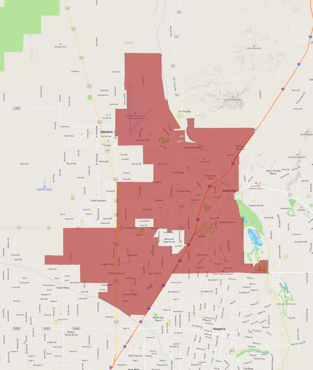
Basic Info
| Area | 191.857 km2 |
|---|