Waterbury
Maps and Statistics of Waterbury
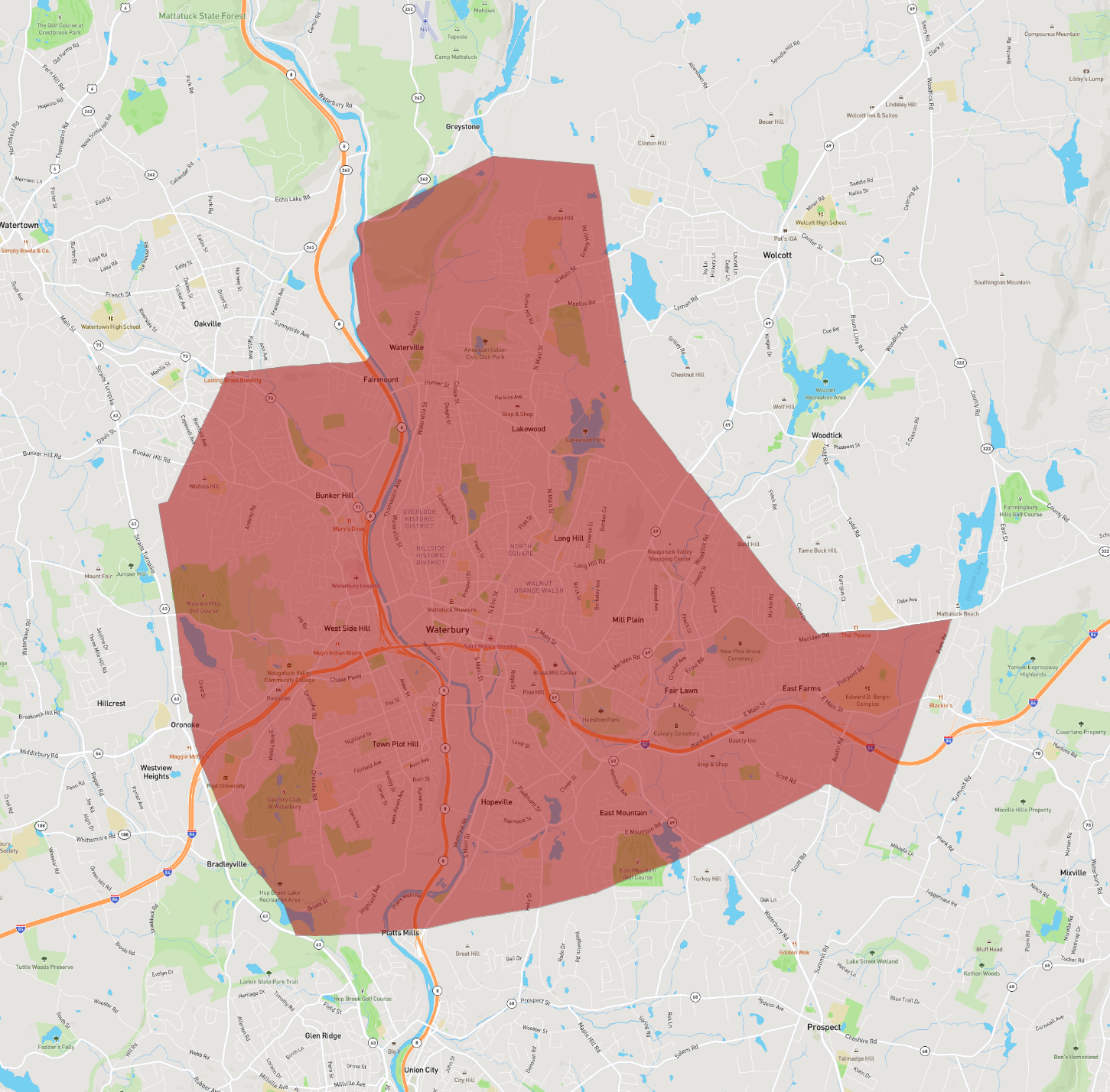
Waterbury, located in Connecticut, is known as the "Brass City" due to its historical prominence in the brass manufacturing industry during the 19th and early 20th centuries. Situated in New Haven County along the Naugatuck River, Waterbury is the fifth-largest city in Connecticut, with a rich cultural history and diverse population.
The city's industrial past is celebrated at the Mattatuck Museum, which offers exhibits on local history and art. Notable architectural landmarks include the impressive Holy Land USA, a religious theme park with iconic replicas, and the historic Union Station Clocktower, reflecting Waterbury's significance in the rail industry.
Waterbury serves as an educational hub with institutions like the University of Connecticut's regional campus and Post University. The city's community vibe is enhanced by annual events such as the Brass City Brew & Que and Waterbury Arts Festival. Waterbury is accessible via Interstate 84 and the Metro-North Railroad, linking it to major cities like New York City and Boston, making it a vibrant and vital part of the Connecticut landscape.
Basic Info
| Area | 74.897 km2 |
|---|