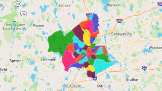
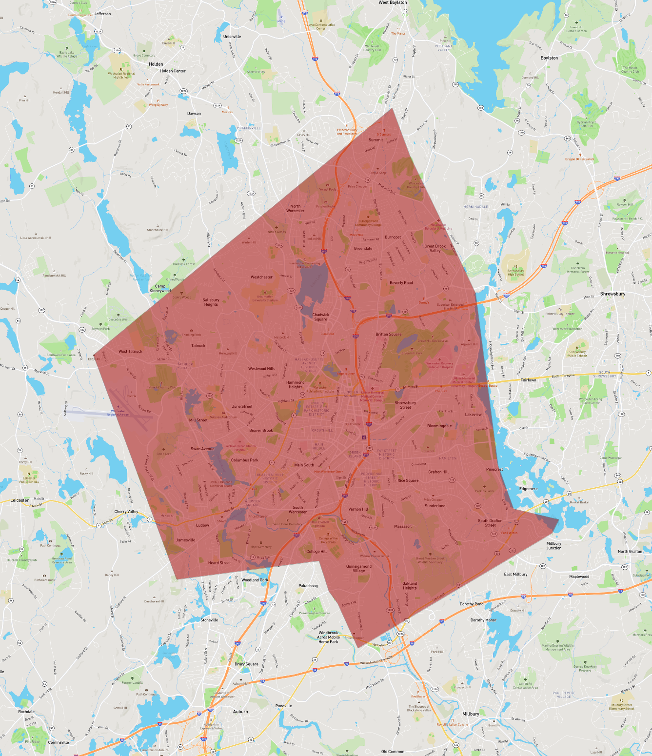
Worcester
Maps and Statistics of Worcester
Worcester is a city in Massachusetts, United States, serving as the county seat of Worcester County. Known as the "Heart of the Commonwealth" due to its central location, it is the second-largest city in Massachusetts after Boston. Worcester has a rich history, dating back to its founding in 1722, and played a significant role in the American Industrial Revolution. The city's architecture is a blend of historic Victorian-era structures and modern developments.
Worcester is home to several renowned educational institutions, including the College of the Holy Cross, Worcester Polytechnic Institute (WPI), and Clark University. The city's economy is diverse, with significant contributions from healthcare, biotechnology, and manufacturing sectors.
Cultural attractions in Worcester include the Worcester Art Museum, Mechanics Hall, and the Hanover Theatre. The city offers numerous parks and outdoor spaces, such as Elm Park and the EcoTarium, a family-friendly museum specializing in science and nature. Worcester's vibrant community and cultural diversity are reflected in its lively festivals, food scene, and arts community.
Basic Info
| Area | 99.586 km2 |
|---|