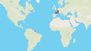
Regions of France
Interactive map of the regions of France. Population and area information of the regions.
- France has in total 18 Administrative Regions
- 13 of the regions are in the metropolitan France, while the other five are overseas regions.
List of Regions
| Flag | Coat of Arms | Region | Population | Area (km2) |
|---|---|---|---|---|
 |
 |
Ile-de-France | 11,852,851 | 12,076.336 |
 |
 |
Provence-Alpes-Côte d'Azur | 4,916,069 | 31,861.795 |
 |
 |
Pays-de-la-Loire | 3,601,113 | 32,453.503 |
 |
 |
Normandy | 3,568,476 | 30,157.949 |
 |
 |
Brittany | 3,217,767 | 27,500.198 |
 |
 |
Centre-Loire Valley | 2,556,835 | 39,572.343 |
 |
 |
Corsica | 314,486 | 8,727.31 |
 |
 |
French Guiana | 237,549 | 83,551.21 |
 |
 |
Mayotte | 217,091 | 366.398 |
 |
 |
Great East | 0 | 57,792.086 |
 |
 |
New Aquitaine | 0 | 84,878.784 |
 |
 |
Bourgogne-Franche-Comté | 0 | 48,103.824 |
 |
 |
Réunion | 0 | 2,504.633 |
 |
 |
Clipperton Island | 0 | 8.853 |
 |
 |
Tromelin Island | 0 | 0.845 |
 |
 |
Occitania | 0 | 73,434.137 |
 |
 |
Hauts-de-France | 0 | 31,967.705 |
 |
 |
Auvergne-Rhône-Alpes | 0 | 71,207.231 |
